How to Research Land Before Buying: A Practical Guide
Same Questions. Different Timeline.
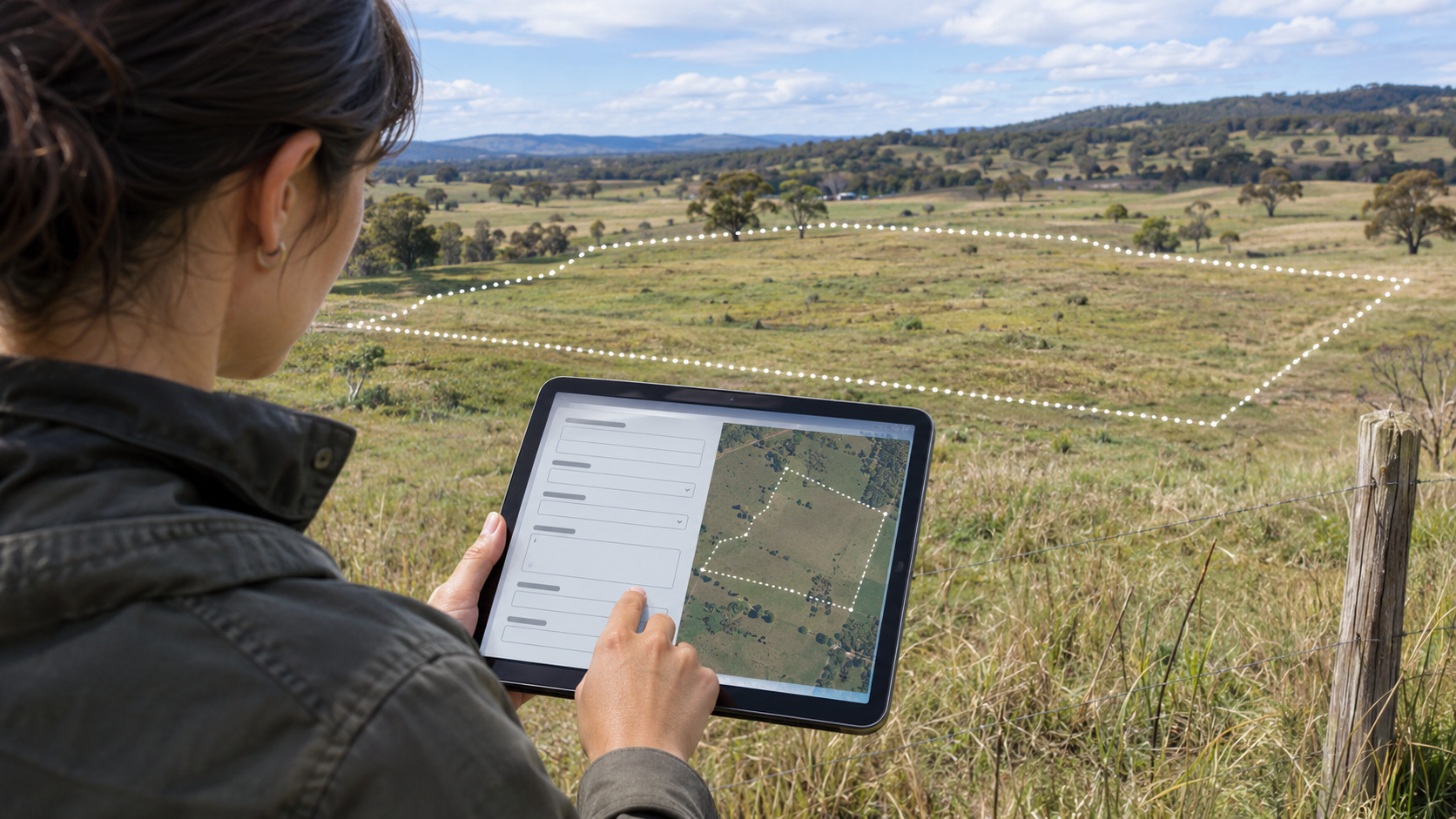
How to keep researching land when the automatic answers aren't there
People buying land still need to know the same things.
What is the zoning? What are the taxes? Can I get to the property? Can I get power and water? Can I use it the way I intend to?
The questions haven't changed much. The tools we use to find the answers are changing quickly.
The county websites and state repositories behind those tools aren't all moving at the same pace. In one place, you may find a searchable map and useful records in a few minutes. Somewhere else, you may need to open separate sites, request a document, or call an office.
That difference matters when you're looking at land. You still need an answer, even when a tool can't bring it back for you.
That's one reason we kept the find-it-yourself part of LandGauge. You should have a way to continue researching the property, even when automatic information gathering isn't available.
What you can do today
Today, the practical starting point is the LandGauge Research Hub, the County GIS Finder, and the land due diligence checklist.
Use those resources to find the questions, locate the relevant sources, and work through the research yourself. The amount of information available will depend on the location and the record you're looking for.
LandGauge cannot automatically gather and verify all of those answers for you today. A county appearing in a directory doesn't mean every record in that county is connected or available.
Here's a practical way to keep going.
1. Start with the property and your plan
Before opening several county sites, write down:
- The state and county.
- The parcel number, sometimes called an APN, PIN, or tax parcel ID.
- The address or location, if there is one.
- The listing link and the seller's claims you need to check.
- What you want to do with the land.
That last item matters. A place to camp, a homesite, and a property you want to divide lead to different questions.
Use the County GIS Finder to look for official parcel and assessor tools. Match the parcel number and location before carrying information into your notes. If the sale includes several parcels, keep track of each one.
An online parcel outline helps you locate the property. Exact boundary questions may require a survey.
2. Find the office that handles the question
You may need more than one website. Start with these offices, then confirm who handles that record locally:
- Assessor or property appraiser: parcel identification, assessed value, and assessment questions.
- Treasurer, tax collector, or local tax office: tax bills, payment status, and amounts due.
- Planning or zoning: zoning, permitted uses, setbacks, and the process for your proposed use.
- Recorder, clerk, or register of deeds: recorded deeds, plats, easements, and restrictions.
- Road department or public works: road status, maintenance, and driveway requirements.
- Utility providers and the local health or permitting office: service questions, connections, wells, and septic requirements.
Office names and responsibilities vary. For example, Idaho's property-tax directory separates assessor contacts from treasurer contacts. Start with the official local directory rather than assuming one office handles everything.
For zoning, ask whether the county, a city, or another local authority controls the parcel. Getting to the right office can save a lot of searching.
3. Work through the questions that could change your decision
Zoning: Can I use this property for my plan?
Find the zoning designation, then look for the rules that go with it. Take your actual plan to the responsible planning office.
Ask:
- Is my intended use allowed on this parcel?
- What setbacks, frontage, minimum lot size, or other requirements should I check?
- Does the plan need an additional approval?
- Are there overlays or other rules I should review?
- Where can I find the current map and ordinance sections that apply?
Save the answer and the source. A broad description such as “residential” leaves more to investigate.
Taxes: What is due, and what should I ask about next?
Find the latest tax bill and confirm which parcel and tax year it covers. Check payment status with the office responsible for collecting the tax.
Ask whether there are unpaid amounts or assessments to investigate. Ask the assessor whether exemptions, special classifications, a sale, or your proposed change in use could affect the future bill.
Keep the current bill and any future estimate separate in your budget. Get local guidance instead of assuming the seller's tax bill will be yours.
Access: How do I get there, and what supports that right?
Look at the route on the map and, when you have permission, on the ground. Then investigate the records behind it.
Ask about public or private road status, recorded access documents, maintenance, and any driveway or approach requirements. If the route crosses someone else's property, identify the documents that apply to your parcel.
A visible road alone doesn't settle the legal-access question. Unclear or conflicting documents belong with a title professional or real-estate attorney. A surveyor may be needed to locate the route or boundaries.
The LandGauge legal-access guide walks through the records and offices to check.
Utilities: What would serving this parcel actually involve?
Contact the provider with the parcel number, location, and intended use.
Ask about service availability, capacity, connection requirements, extension work, easements, fees, and what an estimate includes. Keep unanswered cost questions visible.
If you expect to use a well or septic system, ask the responsible local office what testing, review, and permits are needed. A nearby house or utility line gives you something to investigate; it doesn't answer the question for your parcel.
These four areas are a starting point. Use the full checklist to continue through title, restrictions, flood and drainage concerns, terrain, and other issues that may affect your plan.
4. When the website doesn't give you the answer
Try the parcel number in the format the site requests. Check whether the official office offers a separate map, document index, or records-request page.
If you still can't find the record, call or email with a specific question:
“I'm researching parcel [number] in [location] for [intended use]. I'm trying to confirm [question]. Can you point me to the current record or the office that handles it?”
Ask for the document name, recording number, ordinance section, or written response when available. Note the person, office, and date.
If the office can't answer, ask who can. Sometimes the next step is another agency. Sometimes it is a provider, title company, surveyor, or other qualified professional.
If the answer remains unavailable, leave it unresolved. A failed search isn't evidence that there are no restrictions or problems.
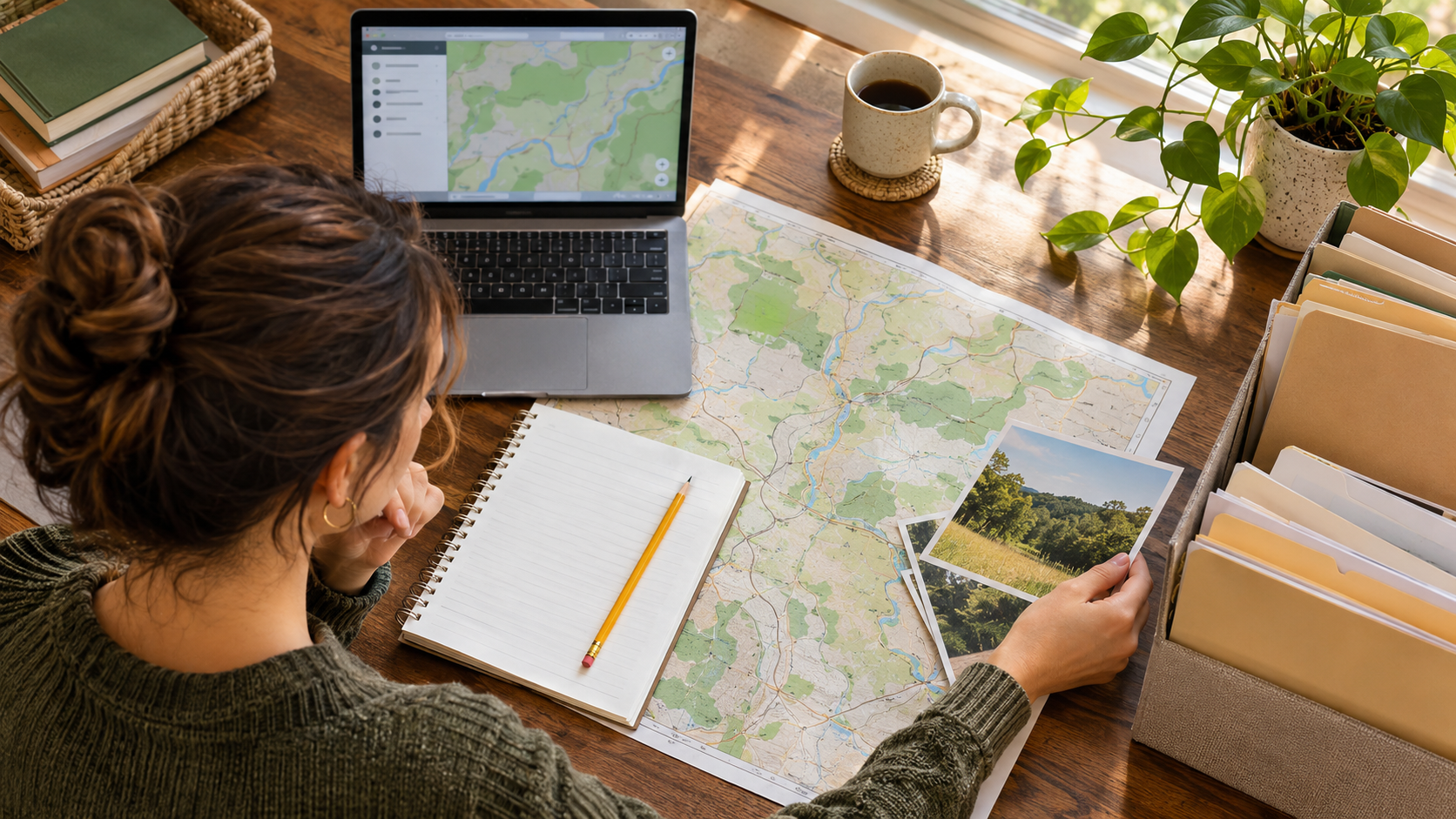
5. Keep the source with the answer
A notebook or simple document is enough to start. For each question, record:
- What you found.
- Where you found it, with the link or document reference.
- The date and any relevant contact.
- What remains uncertain.
- The next action.
For example: “Power line visible near the road. Provider has not confirmed service or cost. Next step: request a parcel-specific response.”
That note tells you more than checking a box labeled “power available.”
As answers arrive, update your costs and your decision. An expensive connection, access problem, or approval requirement may change what you're willing to pay, or whether you want to continue at all.
Where AI fits next
I want LandGauge to help with more of the information gathering as the tools improve and the sources allow it. Optional AI assistance is part of that direction.
That is a development goal, not a promise that automatic research is available for your property today or that a release will arrive by a particular date.
The DIY route still matters. A faster tool will still depend on the records it can reach. Buyers will still need to see where an answer came from and what needs confirmation.
The goal is to make the work easier without leaving people stuck when their county's information isn't available through the newer tools.
Start with the next unanswered question
Open the land due diligence checklist. Write down what you already know about the property. Then use the Research Hub to find a source for the next question.
You may get the answer online. You may need a phone call or a document request. Either way, keep the evidence and the unfinished work together.
Same questions. Different timeline. You still need a way to find the answers.
This guide is educational and is not a complete investigation of any property. Confirm material findings with the responsible agencies, providers, and qualified professionals before relying on them.
Sources & Official Resources
Primary sources that support the information in this guide. Requirements and record systems vary by jurisdiction — always confirm with the agency responsible where the property is located.
- Idaho State Tax CommissionContacting Property Tax
Example of separate county assessor and treasurer contacts. Office responsibilities vary by location.
Related guides
- Due DiligenceWhich Land Research Tool Do You Need? Maps, Property Records and Due Diligence ComparedCompare LandGauge, Land id, Acres, Regrid, LandGlide, AcreValue and PropStream by task, published features and pricing. Choose tools for your land research.
- GIS & Parcel ResearchHow to Search County Property Records Before Buying LandSearch official county property records by parcel number, confirm the property match, and identify acreage, access, and land-split questions before buying land.
- AccessHow to Verify Legal Access Before Buying Vacant LandA road you can see is not a right you own. Here is the step-by-step workflow for verifying legal access through deeds, plats, recorded easements, road status, and county records.
- Due DiligenceLand Due Diligence: How to Check Land Records Before You BuyLearn which land records to check before buying, what maps and deeds can tell you, and which access and building questions still need verification. Includes Fremont County, Colorado examples.