Land Due Diligence: How to Check Land Records Before You Buy
Learn which land records to check before buying, what maps and deeds can tell you, and which access and building questions still need verification. Includes Fremont County, Colorado examples.
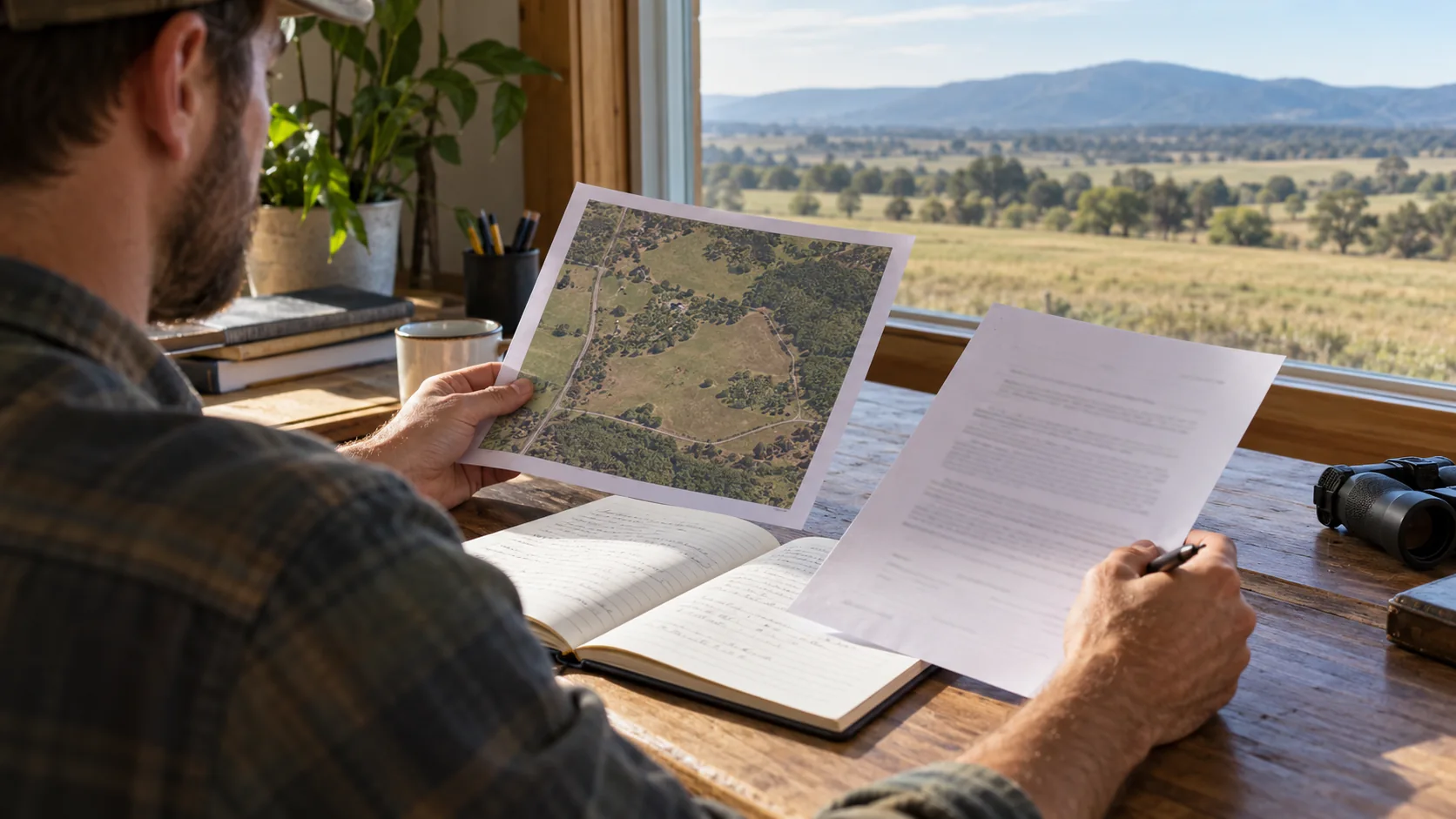
A listing gives you a reason to look at a property. Land records help you decide what to investigate next.
An owner name, parcel number, and map outline are useful starting points. They do not answer every question about access, boundaries, building, or splitting the land.
This land due diligence guide walks through the records to find, the questions to ask, and the gaps to resolve before you rely on a deal.
1. Make sure you are researching the right parcel
Start with the state, county or equivalent jurisdiction, and parcel number. The parcel number may be called an APN, tax ID, or property identification number.
Find the official assessor or property appraiser website. Search by parcel number first when available; an address or owner name can help if you do not have it. Office names and search options vary by location.
Compare the record with the listing. Check the owner shown, acreage, location, and number of parcels included. Save the parcel number and the source link.
If the seller is offering five acres out of a larger tract, ask whether that five-acre parcel already exists as a legally created lot or still needs approval. A tax parcel number alone should not be treated as permission to build.
For a Colorado example, Fremont County’s official resources page links to its assessor records search and county GIS. Start there to compare the parcel information with the listing.
Ask: “Does this record describe exactly what I am being offered?”
2. Use the parcel map to spot questions
A county GIS map helps you see the property's location, approximate shape, nearby roads, and surrounding parcels. Depending on the system, it may also show zoning or other map layers.
Use it to identify questions: Does the mapped parcel appear to meet a road? Does a driveway cross neighboring land? Does the advertised acreage match the record?
Treat mapped lines as a research aid. Do not use an online parcel outline to place a fence, settle a boundary dispute, or position a building. Ask a licensed surveyor what survey work your intended use requires.
Ask: “Which parts of this map need confirmation on the ground or in recorded documents?”
3. Pull the deed and related recorded documents
Search the official recorder, register of deeds, clerk, or land records office serving the property. Some areas use city or town records rather than county records.
Locate the deed and review its legal description. Look for referenced plats, easements, restrictions, and other documents affecting the property. Search systems differ, and a search limited to one document type may miss relevant information recorded elsewhere.
An easement can grant rights or burden land. Finding the word does not tell you whether it provides the access you need. The route, permitted users, purpose, and conditions matter.
Ask a title professional to explain the title commitment or preliminary report, including exceptions and referenced documents. Bring unresolved legal questions to a qualified attorney. A quick online deed search is not a complete title examination.
In Fremont County, Colorado, the Recording Division links to the public document search. Searching is free, but viewing document images requires purchasing copies. Check the current instructions and fees before ordering.
Ask: “What rights and restrictions affect my intended use?”
4. Check access separately from the road you can see
A visible driveway is a physical observation. Legal access is a separate question.
If access crosses another property, locate the documents supporting that route and have them reviewed. Also ask the responsible road or permitting authority about road status, maintenance, and approach requirements.
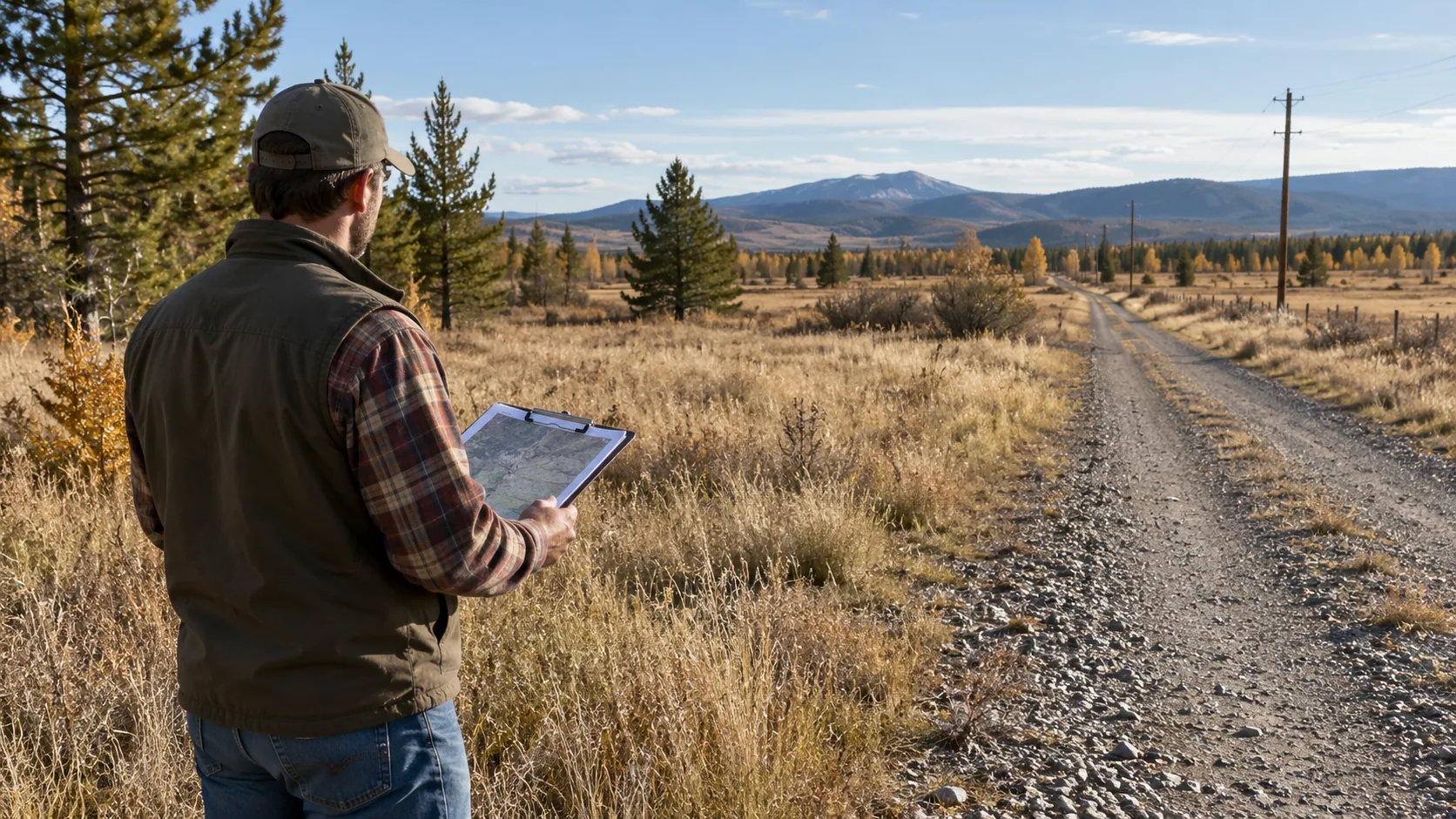
Walk or drive the route where you have permission. Note gates, steep grades, drainage problems, and seasonal limitations. A recorded right and a usable route both matter to your plan.
Ask: “Can I legally reach the property, and can the route serve what I intend to do?”
5. Connect the records to your actual plan
Tell the responsible planning office what you intend to do: build one home, place a manufactured home, divide the property, or hold it for another use.
Ask about zoning, legal lot status, setbacks, overlays, and the approval process. Request the applicable rules and a written explanation of unresolved requirements. An informal discussion is useful guidance; distinguish it from an issued approval.
Check flood mapping through the FEMA Flood Map Service Center, then discuss site-specific questions with the local floodplain administrator. Ask the utility providers about service, capacity, connection requirements, and costs. If septic is needed, ask the local health authority about required site evaluations and approvals.
For land in unincorporated Fremont County, the county’s zoning verification guidance describes a property-specific verification form and recommends rechecking older zoning information. For land inside a municipality, first confirm which planning office has jurisdiction. This is a local example; other Colorado counties and towns have their own processes.
Ask: “What evidence or approval is still missing for this specific plan?”
6. Keep evidence and unanswered questions together
For each important finding, save the source, date, parcel identification, and what the information actually establishes. Keep assumptions and pending questions visible.
| Finding | What you have | Next step |
|---|---|---|
| Acreage differs from the listing | Assessor record and listing | Reconcile the difference with the seller and relevant professionals |
| Driveway crosses another parcel | Map and field observation | Locate and review the access documents |
| Power line is nearby | Field photograph | Ask the provider about service and connection costs |
| Seller says the land can be divided | Seller statement | Ask planning about the parcel and proposed division |
Update your costs and offer assumptions as answers arrive. An unresolved issue may change the price, timeline, proposed use, or your decision to continue.
Start with the LandGauge land due diligence checklist, then use the research hub to continue investigating. Keep the records, the unanswered question, and the next contact connected to the property you are reviewing.
*This guide provides general educational information. Requirements vary by jurisdiction and property; use the responsible agencies and qualified professionals for property-specific determinations.*
Sources & Official Resources
Primary sources that support the information in this guide. Requirements and record systems vary by jurisdiction — always confirm with the agency responsible where the property is located.
- Fremont County Clerk & Recorder, ColoradoOfficial assessor and GIS resources
County-published links to assessor records and GIS; a local example, not a statewide process.
- Fremont County Clerk & Recorder, ColoradoRecording Division
Public document search instructions and information on purchasing document images.
- Fremont County, ColoradoPlanning and Zoning general information
Property-specific zoning verification and rechecking older zoning information.
- FEMAFlood Map Service Center
Official flood map lookup.
Related guides
- GIS & Parcel ResearchHow to Search County Property Records Before Buying LandSearch official county property records by parcel number, confirm the property match, and identify acreage, access, and land-split questions before buying land.
- Due DiligenceHow to Read a Land Survey: Boundaries, Notes & AccessLearn how to read a land survey: identify parcel boundaries, understand surveyor notes, and investigate the road shown before relying on access claims.
- Due DiligenceIs This Vacant Land Really Buildable? What to Verify Before You BuyIs vacant land really buildable? Check zoning, legal access, utilities, septic and flood risk, then organize what still needs verification before buying.
- Due DiligenceHow to Research a Zillow Land ListingWatch how to turn an online land listing into a saved property review in LandGauge.