Tooele County, Utah GIS, parcel, zoning and land-record resources
A county parcel map is a starting point for locating land and finding its public records. Use official Tooele County, state and federal sources to locate a parcel, confirm whether county or municipal rules apply, review zoning and recorded documents, and screen flood or geologic constraints.
Keep your research beside your property review
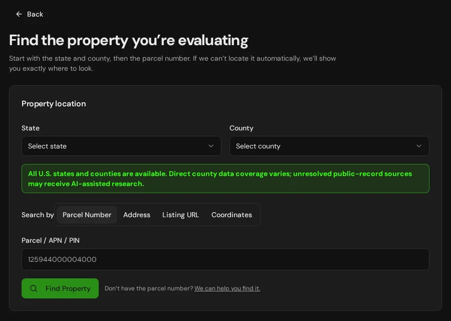
Start with an address, parcel number or listing. Keep the findings and questions for that property together in LandGauge.
On desktop, select an official source below to research side by side. Your review stays open while you switch sources. If a website will not display, use Open in new tab.
Confirm the governing jurisdiction first
Tooele County administers zoning and development review for unincorporated land. Parcels inside Tooele City, Grantsville, Erda, Lake Point, Stockton, Rush Valley or another municipality may be governed by that municipality's zoning, subdivision and permitting rules. Confirm municipal boundaries and the responsible planning office before relying on a county layer.
Official research resources
Tooele County publishes useful parcel, zoning and record systems, but the information is divided among map services, a registration-based search, county offices and municipal authorities. Use the source that matches the question and preserve manual follow-up.
Tap a resource to see its details, then open the official source. Use your browser’s Back or close control to return here.
GISTooele County Public Record Search
Search the county's combined parcel and property-record database by parcel number or street address.
A free basic search requires registration. Paid access may be required for advanced features or document images.
Open official source : Tooele County Public Record Search (opens in a new tab)Parcel recordsTooele County GIS Parcel Service
Open the county's authoritative parcel map service for parcel boundaries, identifiers and mapped reference information.
The service directory exposes official GIS layers but may be less convenient than a consumer map. Treat mapped lines as screening information, not a boundary survey.
Open official source : Tooele County GIS Parcel Service (opens in a new tab)ZoningTooele County Zoning Map Service
Review county and participating municipal zoning layers, including Erda, Grantsville and Lake Point.
Layer availability and update dates vary by jurisdiction. Confirm the zone and effective ordinance with the responsible planning office.
Open official source : Tooele County Zoning Map Service (opens in a new tab)PlanningTooele County Community Development
Find the county department responsible for planning, zoning, building and development questions in unincorporated areas.
Planning and Zoning: 435-843-3160. Ask for property-specific confirmation when a map, code or jurisdiction boundary is unclear.
Open official source : Tooele County Community Development (opens in a new tab)ZoningTooele County Land Use Ordinance
Review the county's published land-use ordinance for zoning, dimensional standards, subdivisions and development requirements.
The county states that online documents are not guaranteed to be current. Call the planning office for the most current text and amendments.
Open official source : Tooele County Land Use Ordinance (opens in a new tab)Recorded documentsTooele County Recorder / Surveyor
Find the county office responsible for recorded documents, survey records, plats and survey monuments.
Online indexes do not replace a title examination, and some older documents or images require manual office research.
Open official source : Tooele County Recorder / Surveyor (opens in a new tab)Recorded documentsTooele County Recorded-Document Search
Search the county's electronic document index and property information linked to parcel numbers.
The county says the electronic document-to-parcel index begins January 1, 1995. Earlier material may require an office search.
Open official source : Tooele County Recorded-Document Search (opens in a new tab)Recorded documentsTooele County Survey Monuments
Locate county surveyor information about maintained public-land-survey monuments and coordinates.
Monument and coordinate information supports survey research but does not independently establish a parcel boundary in the field.
Open official source : Tooele County Survey Monuments (opens in a new tab)FloodUtah Flood Hazards Mapping
Review Utah flood-risk projects, effective-map links and East Tooele County flood-hazard information.
Some Utah areas have digital flood maps while others may rely on paper products. Confirm the effective source and local administrator.
Open official source : Utah Flood Hazards Mapping (opens in a new tab)TerrainUtah Geological Survey Hazard Maps
Screen faults, landslides, problem soils and other mapped geologic hazards across Tooele County's varied terrain.
County-scale hazard mapping cannot replace site-specific geotechnical or engineering investigation.
Open official source : Utah Geological Survey Hazard Maps (opens in a new tab)FloodFEMA Map Service Center
Locate effective National Flood Insurance Program maps and flood-hazard products for a Tooele County property.
Confirm whether the displayed product is effective, preliminary or historical before relying on it.
Open official source : FEMA Map Service Center (opens in a new tab)If this source won’t open
Try opening the source in a new tab. It may be temporarily unavailable or require a browser security check.
Try FEMA’s effective flood map viewer. Confirm the panel and effective date; missing results do not establish that the property is outside a flood zone. You can also ask FEMA’s map specialists for help.
Keep this answer unknown until you can verify it. Save a note about what you still need to check. Opening a link or contacting an office does not confirm an answer.
FEMA Map Service Center
Locate effective National Flood Insurance Program maps and flood-hazard products for a Tooele County property.
Confirm whether the displayed product is effective, preliminary or historical before relying on it.
Open official sourceIf this source won’t open
Try opening the source in a new tab. It may be temporarily unavailable or require a browser security check.
Try FEMA’s effective flood map viewer. Confirm the panel and effective date; missing results do not establish that the property is outside a flood zone. You can also ask FEMA’s map specialists for help.
Keep this answer unknown until you can verify it. Save a note about what you still need to check. Opening a link or contacting an office does not confirm an answer.
A practical Tooele County research sequence
The sequence matters because a parcel layer, zoning service, recorded-document index and hazard map answer different questions and do not automatically reconcile with one another.
- 1
Locate the parcel and jurisdiction
Use the county record search and parcel layer to identify the parcel, then determine whether it is inside a municipality or in unincorporated Tooele County.
- 2
Check the governing zoning layer and code
Use the zoning source for the confirmed jurisdiction and compare the mapped zone with the current ordinance, overlays, lot standards and proposed use.
- 3
Trace recorded and survey evidence
Review the recorder index, plats, surveys and monuments. Remember that the electronic document-to-parcel index begins in 1995, so older evidence may require an office search.
- 4
Screen rural-land constraints
Check legal access, road status, water, wastewater or septic feasibility, power, fire protection, flood hazards, geologic conditions and any development-specific requirements.
Why some Tooele County verification is still manual
Tooele County's official information spans a registration-based property search, GIS service directories, recorder and survey systems, county planning pages and separate municipal authorities. Older recorded material may not be indexed online, and rural-land questions often require direct confirmation of access, roads, water, wastewater, power and fire protection.
Tooele County, Utah GIS and zoning questions
Where is the official Tooele County GIS parcel map?
Tooele County provides a combined public-record search and publishes official parcel GIS services. The public-record search is easier for parcel or address lookup, while the GIS service exposes the county's mapped parcel layers.
Does Tooele County zoning apply inside Tooele City or Grantsville?
Not automatically. Tooele County administers unincorporated land, while Tooele City, Grantsville and other municipalities may have their own zoning, subdivision and permit rules. Confirm the municipal boundary and responsible planning office first.
How do I research vacant land in Tooele County, Utah?
Locate the parcel and jurisdiction, verify zoning against the current ordinance, review recorded and survey evidence, and then investigate legal access, roads, water, wastewater or septic, power, fire protection, flood and geologic hazards.
Are all Tooele County recorded documents available online?
No. The county states that its electronic index connecting documents to parcel numbers begins January 1, 1995. Older documents, some images and certified copies may require direct Recorder/Surveyor research or a fee.
Can LandGauge automatically verify every Tooele County land question?
No. Some official data is available through map services or registration-based systems, while older records and property-specific planning, access, utility and hazard questions can require manual follow-up. LandGauge organizes the sources without treating unavailable data as a verified answer.
Turn the research into a property record
Start with Utah and Tooele County preselected, then add the address, parcel number or listing URL. LandGauge keeps located records separate from seller claims, manual findings and items that still need verification.
Start the Property ReviewLandGauge organizes research starting points. County and map information may change and does not replace a survey, title examination, engineering review, floodplain determination, permit decision or professional advice.