Utah GIS, zoning, flood and land-research resources
Start with Utah's statewide parcel and hazard systems, then move to the county or city that controls zoning, land division and permitting for the property.
Start a Utah Property ReviewComplete Utah county coverage
LandGauge now publishes a verified research page for all 29 Utah counties. Choose a county below to find its official parcel, zoning, recorder, planning and hazard sources.
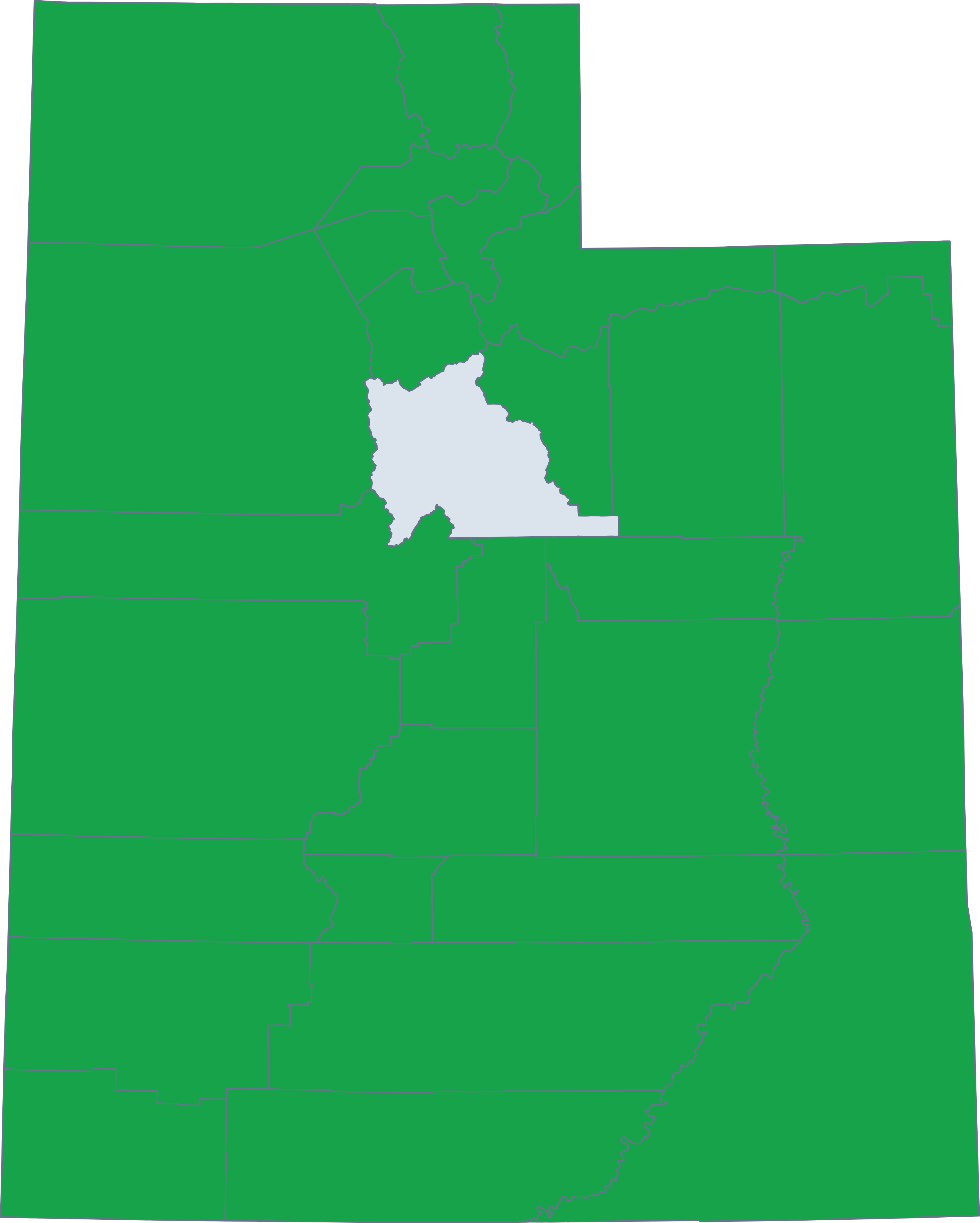
Each page identifies the county's official starting points and explains where city jurisdiction or manual follow-up may apply.
Every county page leads into the same county-prefilled LandGauge Property Review.
Published county research
LandGauge publishes a county page only after its official resources, manual limitations and jurisdiction notes have been verified.
Beaver County
GIS, parcels, zoning, planning, records, flood and terrain resources
Box Elder County
GIS, parcels, zoning, planning, records, flood and terrain resources
Cache County
GIS, parcels, zoning, planning, records, flood and terrain resources
Carbon County
GIS, parcels, zoning, planning, records, flood and terrain resources
Daggett County
GIS, parcels, zoning, planning, records, flood and terrain resources
Davis County
GIS, parcels, zoning, planning, records, flood and terrain resources
Duchesne County
GIS, parcels, zoning, planning, records, flood and terrain resources
Emery County
GIS, parcels, zoning, planning, records, flood and terrain resources
Garfield County
GIS, parcels, zoning, planning, records, flood and terrain resources
Grand County
GIS, parcels, zoning, planning, records, flood and terrain resources
Iron County
GIS, parcels, zoning, planning, records, flood and terrain resources
Juab County
GIS, parcels, zoning, planning, records, flood and terrain resources
Kane County
GIS, parcels, zoning, planning, records, flood and terrain resources
Millard County
GIS, parcels, zoning, planning, records, flood and terrain resources
Morgan County
GIS, parcels, zoning, planning, records, flood and terrain resources
Piute County
GIS, parcels, zoning, planning, records, flood and terrain resources
Rich County
GIS, parcels, zoning, planning, records, flood and terrain resources
Salt Lake County
GIS, parcels, zoning, planning, records, flood and terrain resources
San Juan County
GIS, parcels, zoning, planning, records, flood and terrain resources
Sanpete County
GIS, parcels, zoning, planning, records, flood and terrain resources
Sevier County
GIS, parcels, zoning, planning, records, flood and terrain resources
Summit County
GIS, parcels, zoning, planning, records, flood and terrain resources
Tooele County
GIS, parcels, zoning, planning, records, flood and terrain resources
Uintah County
GIS, parcels, zoning, planning, records, flood and terrain resources
Utah County
GIS, parcels, zoning, planning, records, flood and terrain resources
Wasatch County
GIS, parcels, zoning, planning, records, flood and terrain resources
Washington County
GIS, parcels, zoning, planning, records, flood and terrain resources
Wayne County
GIS, parcels, zoning, planning, records, flood and terrain resources
Weber County
GIS, parcels, zoning, planning, records, flood and terrain resources
Utah statewide sources
Utah has strong statewide parcel and hazard data, but local zoning, subdivision and permitting decisions still belong to the applicable city or county.
Utah State Parcels
Screen parcel boundaries compiled from all 29 Utah counties through the Utah Geospatial Resource Center.
Open official sourceUtah Flood Hazards Mapping
Review Utah floodplain mapping, Risk MAP projects and links to effective FEMA flood information.
Open official sourceUtah Geological Survey Hazards
Find official geologic-hazard maps and publications for faults, landslides, problem soils and other site constraints.
Open official sourceWhat this hub does—and does not do
LandGauge organizes authoritative starting points and the next verification step. Statewide parcel and hazard layers are screening tools; they do not replace local determinations, surveys, title work, engineering, floodplain administration or professional advice.