Lot Splits
Can You Split Land Into Two Lots? 7 Things to Check
A property can appear large enough for two lots and still fail after money is spent on a survey or plan. Check the seven issues that control whether both resulting lots can work.
Quick answer
Possibly—but both resulting lots must work independently under the current rules and property conditions. Confirm the governing jurisdiction, zoning and land-division process, minimum area and dimensions, frontage, legal and physical access, setbacks, utilities or wastewater, easements, buildable area, and required approvals. A line drawn down the middle is a preliminary concept, not a subdivision approval.
LandGauge Video Guide
Watch: Can This Property Become Two Lots?
In 53 seconds, see the seven questions that should be investigated before treating a two-lot split as workable.
Conceptual planning only. The video does not establish subdivision approval, surveyed boundaries, legal access, utility service, buildability, value, or final lot yield.
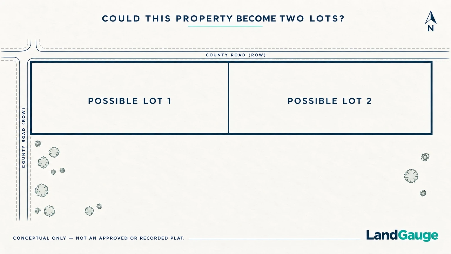
Why acreage alone does not determine whether land can be split
Total acreage is only the starting point. A parcel can contain enough square footage overall and still fail because one proposed lot lacks sufficient width, frontage, access, utility service, or usable building area.
Treat the proposed line as a working concept. The useful question is whether both resulting lots can satisfy the rules and function independently for their intended uses.
Check minimum lot size and zoning
Confirm whether subdivision is permitted, identify the zoning district, and read the current ordinance rather than relying on a listing description. Check the minimum lot area for each proposed lot and determine whether overlays or special districts add another layer of requirements.
Keep permitted uses separate from conditional uses and plans that depend on a variance. A use that may be considered through a hearing or exception is not the same as a use allowed by right.
Use the zoning verification guide to organize the district, ordinance, overlays, and agency questions.
Check lot width and road frontage
Both lots may need minimum width and frontage on an approved road. A parcel can have enough acreage but still be too narrow to create two compliant lots.
Flag lots, shared access, and private-road configurations may be possibilities in some jurisdictions, but they require local confirmation. Do not assume that a narrow access strip or shared driveway solves frontage requirements.
Draw the setbacks and usable building area
The proposed boundary is only one line. Front, rear, side, road-right-of-way, utility, waterway, and other setbacks can reduce the usable area substantially.
The remaining buildable envelope is more important than total acreage. Draw each known setback around both proposed lots and look for a practical area that can support the intended use, access, utilities, and site work.
The buildability guide explains why parcel size alone cannot answer the question.
Verify legal and physical access
Visible access does not prove legal access. Each proposed lot needs an acceptable legal and physical access arrangement.
Confirm public-road frontage or a recorded easement. Then check driveway approval, grade, width, turnaround, fire-access, and maintenance requirements for each proposed lot.
Use the land access guide to separate what can be seen on a map from what the records and responsible agencies confirm.
Confirm water, sewer, septic, and other utilities
Determine whether each new lot can receive separate utility service. Confirm connection availability and capacity directly with the provider, then identify tap, meter, extension, engineering, and owner-side costs.
Where public sewer is unavailable, determine whether both lots can independently support approved wastewater systems, including any required replacement area. “Utilities nearby” is not the same as confirmed service.
The vacant-land utilities guide provides a practical provider-by-provider checklist. If the plan relies on a nearby or on-site line, review what “power nearby” means for a land split before treating location as service.
Look for easements, improvements, and physical constraints
Utility easements, drainage easements, rights-of-way, existing buildings, wells, septic systems, floodplain, wetlands, slope, and other constraints may cross the proposed boundary or reduce usable area.
Compare the conceptual layout with the survey, title commitment, recorded documents, and physical conditions. Pay particular attention to anything that would serve one proposed lot from land placed in the other.
Also review plat notes, CC&Rs, deed restrictions, and other private rights. Government approval does not automatically remove a private restriction. If the property secures a loan, ask the lender whether consent or a partial release would be required before assuming a newly created lot could be separately financed or sold.
Understand the subdivision process, cost, and timeline
Creating two lots may require a survey, preliminary or final plat, application and recording fees, utility plans, road or driveway review, drainage or engineering work, dedications or easements, agency approval, and recording the new parcels.
Requirements differ by jurisdiction and property. Ask the responsible agency for the current process and required materials rather than relying on a universal timeline or cost estimate. Use the cost-of-splitting guide to organize survey, approval, engineering, access, utility, holding, and selling costs. If a buyer and seller are deciding who covers the survey, see who pays for a property survey.
- Survey
- Preliminary or final plat
- Application and recording fees
- Utility plans
- Road or driveway review
- Drainage or engineering work
- Dedications or easements
- Agency approval
- Recording the new parcels
A Lot Split Is Not the Same as Adding a Second Dwelling
A legal lot split creates separate parcels after approval and recording. An ADU, duplex, guest house, or second home may add another dwelling while the land remains one parcel. Zoning, building rules, recorded restrictions, title, utilities, and financing may treat these paths differently.
If the goal is another dwelling rather than another separately saleable parcel, review the LandGauge ADU guide before assuming a subdivision is necessary.
Quick two-lot screening
A Two-Lot Split May Deserve Further Investigation When
- Both proposed lots appear to meet minimum area requirements.
- Each lot appears to meet width and frontage rules.
- Setbacks leave a practical building area on both lots.
- Legal and physical access can be documented.
- Water and wastewater service appear feasible for both lots.
- Easements and physical constraints do not consume the usable areas.
- The local subdivision pathway appears achievable.
Stop and Verify Before Relying When
- The plan depends on a variance, rezoning, or unapproved access.
- One proposed lot would be too narrow or lack frontage.
- Utility service has not been confirmed separately for both lots.
- Septic feasibility is unknown.
- An existing improvement crosses the proposed boundary.
- Easements, floodplain, wetlands, slope, or setbacks may remove the usable area.
- Survey, engineering, utility, or approval costs remain unknown.
This is an early screening framework—not a subdivision approval, survey, legal opinion, engineering determination, zoning determination, or guarantee of buildability.
From “Maybe” to a Decision Path
A parcel map can show the property, but it does not organize the decision. LandGauge helps separate what appears possible from what is assumed, what is supported by a source, and what still needs property-specific verification.
1. Compare the preliminary math
Use the Land Split Calculator to compare purchase price, improvement costs, holding assumptions, projected lot values, profit, and margin without treating the result as an approval or appraisal.
2. Investigate the property
Start a free Property Review to organize jurisdiction, zoning, dimensions, access, utilities, documents, physical constraints, and unanswered questions for the parcel.
3. Verify before relying
Preserve the sources and dates behind important findings, then confirm unresolved legal, surveying, engineering, utility, title, lending, and agency questions with the responsible authorities and qualified professionals. The land due-diligence checklist and Vacant Land Value Estimator can support that work.
Conceptual layouts and calculator results are preliminary planning tools. They are not recorded plats, surveys, permits, approvals, legal opinions, engineering determinations, appraisals, or investment advice. Confirm property-specific requirements and evidence with the responsible agencies and qualified professionals.