Hot Springs County, Wyoming GIS, parcel, zoning and land-record resources
A county parcel map is a starting point for locating land and finding its public records. Use official Wyoming and Hot Springs County research paths to locate the parcel, confirm jurisdiction, review land-use and wastewater requirements, open underlying records and preserve unresolved questions in one due-diligence record.
Keep your research beside your property review
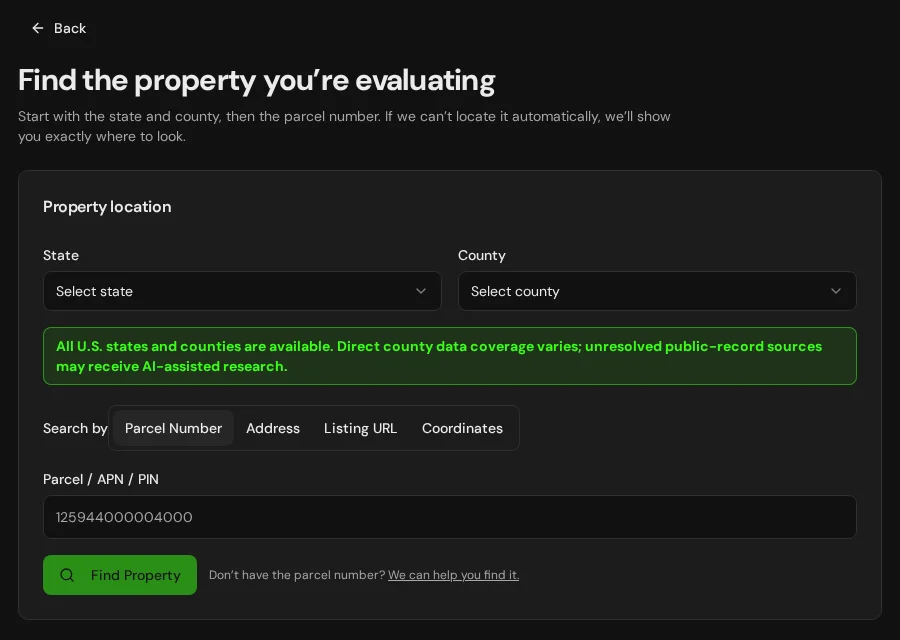
Start with an address, parcel number or listing. Keep the findings and questions for that property together in LandGauge.
On desktop, select an official source below to research side by side. Your review stays open while you switch sources. If a website will not display, use Open in new tab.
Confirm the governing jurisdiction first
Hot Springs County resources generally govern unincorporated private land. Incorporated municipalities, federal or state land, special districts and other authorities may follow separate rules. Confirm the governing jurisdiction and current regulation before relying on a map or policy statement. Parts of this county overlap Wind River Indian Reservation geography. A map overlap does not establish ownership, fee, trust or allotted status, taxation, or tribal, county or state jurisdiction. Confirm the governing authority directly.
Official research resources
Hot Springs County resources generally govern unincorporated private land. Incorporated municipalities, federal or state land, special districts and other authorities may follow separate rules. Confirm the governing jurisdiction and current regulation before relying on a map or policy statement. Parts of this county overlap Wind River Indian Reservation geography. A map overlap does not establish ownership, fee, trust or allotted status, taxation, or tribal, county or state jurisdiction. Confirm the governing authority directly.
Tap a resource to see its details, then open the official source. Use your browser’s Back or close control to return here.
GISWyoming statewide parcel viewer
Locate the parcel, account, jurisdiction, mapped boundary, location address and available deeded acreage in the official statewide viewer.
The statewide parcel layer is a discovery source. County assessor records remain authoritative, and mapped geometry is not a survey.
Open official source : Wyoming statewide parcel viewer (opens in a new tab)Parcel recordsWyoming Department of Revenue parcel maps and GIS data
Review statewide parcel-map guidance and available GIS resources from the Property Tax Division.
Tax and assessment information does not establish boundaries, title, access, mineral ownership, zoning or buildability.
Open official source : Wyoming Department of Revenue parcel maps and GIS data (opens in a new tab)PlanningHot Springs County planning and zoning starting point
Open the verified county planning or land-use path and confirm the authority, current policy, zoning district, subdivision rules and permit requirements.
LandGauge does not infer county zoning from county geography. A county policy statement such as no countywide zoning is not a parcel clearance or proof of no restrictions.
Open official source : Hot Springs County planning and zoning starting point (opens in a new tab)Recorded documentsHot Springs County clerk, assessor and recorder path
Use the official county website to reach the offices responsible for deeds, plats, surveys, easements, assessments and recorded restrictions.
An online index or map does not replace the recorded instrument, title work or a survey.
Open official source : Hot Springs County clerk, assessor and recorder path (opens in a new tab)PlanningWyoming DEQ small wastewater and septic permitting
Identify the responsible permitting authority and review requirements for septic tanks, leachfields and other small wastewater systems.
Permitting authority varies by county and system type. Confirm local forms, setbacks, soil evaluation and approval status directly.
Open official source : Wyoming DEQ small wastewater and septic permitting (opens in a new tab)Recorded documentsWyoming State Engineer water-right search
Use e-Permit guidance and the Water Right Database to research surface-water and groundwater permits, priorities, uses and documents.
A database or mapped result does not by itself prove that a water right transfers with the property or supports the proposed use.
Open official source : Wyoming State Engineer water-right search (opens in a new tab)TerrainWyoming Groundwater Atlas
Screen nearby well permits, groundwater quality, aquifers, recharge and other statewide groundwater context.
Nearby records do not prove water availability, yield, quality, rights, drilling feasibility or permit eligibility.
Open official source : Wyoming Groundwater Atlas (opens in a new tab)GISWyoming Land and Lease Map Viewer
Screen state surface and subsurface ownership, leases, public access, restrictions and closures.
Confirm ownership and mineral interests with current records and title work. State, federal and private surface and subsurface interests may differ.
Open official source : Wyoming Land and Lease Map Viewer (opens in a new tab)FloodFEMA Map Service Center
Locate effective National Flood Insurance Program maps and related flood-map products.
Distinguish effective mapping from preliminary or historical products and confirm local floodplain requirements.
Open official source : FEMA Map Service Center (opens in a new tab)If this source won’t open
Try opening the source in a new tab. It may be temporarily unavailable or require a browser security check.
Try FEMA’s effective flood map viewer. Confirm the panel and effective date; missing results do not establish that the property is outside a flood zone. You can also ask FEMA’s map specialists for help.
Keep this answer unknown until you can verify it. Save a note about what you still need to check. Opening a link or contacting an office does not confirm an answer.
TerrainUSGS National Map
Screen elevation, contours, hydrography and topographic context from a federal source.
Regional terrain data does not replace a boundary, topographic, geotechnical or site survey.
Open official source : USGS National Map (opens in a new tab)FEMA Map Service Center
Locate effective National Flood Insurance Program maps and related flood-map products.
Distinguish effective mapping from preliminary or historical products and confirm local floodplain requirements.
Open official sourceIf this source won’t open
Try opening the source in a new tab. It may be temporarily unavailable or require a browser security check.
Try FEMA’s effective flood map viewer. Confirm the panel and effective date; missing results do not establish that the property is outside a flood zone. You can also ask FEMA’s map specialists for help.
Keep this answer unknown until you can verify it. Save a note about what you still need to check. Opening a link or contacting an office does not confirm an answer.
A practical Hot Springs County research sequence
Wyoming's statewide parcel, water and geological systems are valuable starting points, but land-use, recording, wastewater, mineral and jurisdiction questions still require the responsible local, state, federal or tribal authority.
- 1
Locate the parcel and confirm the governing authority
Start with Wyoming's statewide parcel viewer, then determine whether county, city, tribal, state, federal or another authority controls land use and permitting.
- 2
Verify land-use, subdivision and wastewater rules
Confirm whether zoning applies, allowed uses, setbacks, minimum parcel size, division requirements and the correct septic or wastewater permitting authority.
- 3
Open the underlying records
Review the current deed, plat, survey, easements, covenants, water-right documents, well records and available surface or mineral-interest records.
- 4
Verify physical and access constraints
Investigate legal and physical access, roads, utilities, wells, septic feasibility, flood, wildfire, slope, expansive soils, public-land adjacency and winter access.
Why Hot Springs County research still requires manual verification
Current deeds, plats, surveys, easements, subdivision files, septic approvals, water rights and planning decisions may require registration, payment, email, a phone call or an in-person request. Access, minerals, water, wastewater, jurisdiction and buildability conclusions require property-specific confirmation.
Hot Springs County, Wyoming GIS and zoning questions
Where is the official Hot Springs County, Wyoming parcel map?
Start with the Wyoming Department of Revenue statewide parcel viewer. Use its result as a discovery source, then confirm parcel facts with the county assessor and recorded documents.
Does every rural parcel in Hot Springs County have county zoning?
No. Wyoming land-use authority varies, and a county statement that there is no countywide zoning does not remove municipal rules, subdivision requirements, floodplain regulation, septic permits, easements, covenants or other restrictions.
Does the statewide Wyoming parcel map prove boundary and acreage?
No. The state layer supports research but does not replace a recorded survey, deed, plat, assessor confirmation or title work. Preserve discrepancies as items needing verification.
How do I check septic, wells and water rights in Hot Springs County?
Use Wyoming DEQ guidance to identify the wastewater permitting authority, the WSGS Groundwater Atlas for screening and the State Engineer's e-Permit system for water-right records. Confirm the actual permits and approvals.
What if a Wyoming county record is not online?
Keep it marked as needing verification and contact the county clerk, assessor, planning office, local wastewater authority, Wyoming DEQ or State Engineer. Missing online information is not evidence that a right, restriction or approval does not exist.
Turn the research into a property record
Start with Wyoming and Hot Springs County preselected. Add the address, parcel number or listing URL, then save official findings, seller claims and unresolved questions in one Property Review.
Start the Property ReviewLandGauge organizes research starting points. County and map information may change and does not replace a survey, title examination, engineering review, floodplain determination, permit decision or professional advice.