Washington GIS, zoning, flood and land-research resources
Move from statewide parcel discovery into the official county sources that control the record, then carry findings and unresolved questions into one Property Review.
Complete Washington county coverage
39 of 39 counties are researched and published. Start with the county page, then verify the parcel against the office that owns the underlying record.
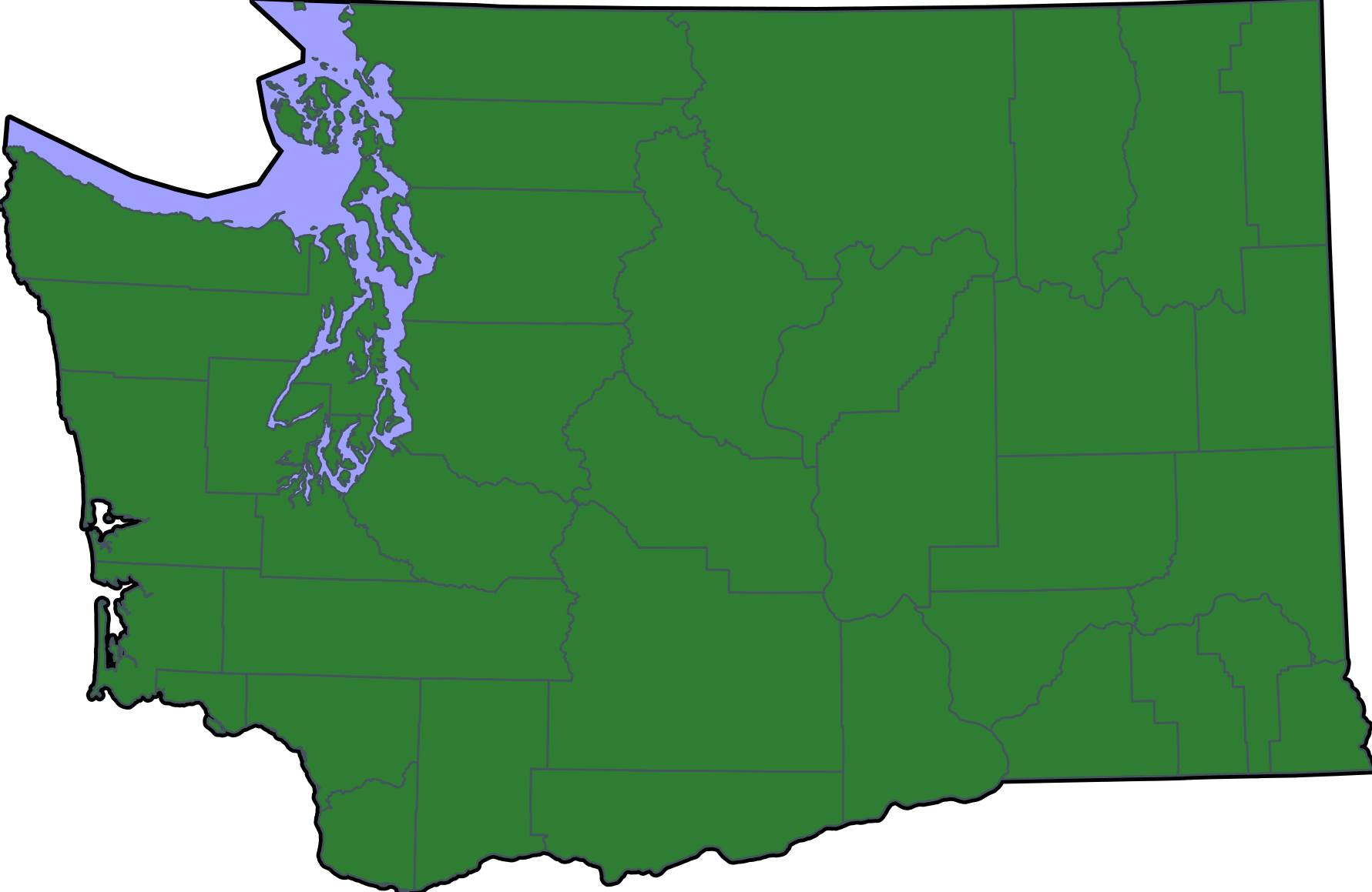
Direct county GIS links are used where available. Where systems are fragmented, the page begins with statewide parcel discovery and points back to the county authority for verification.
Open the county directoryWashington county research directory
Every county page connects parcel discovery, official county offices, hazard screening and a prefilled Property Review handoff.
Adams County
GIS, parcel, zoning, records, flood and terrain resources
Asotin County
GIS, parcel, zoning, records, flood and terrain resources
Benton County
GIS, parcel, zoning, records, flood and terrain resources
Chelan County
GIS, parcel, zoning, records, flood and terrain resources
Clallam County
GIS, parcel, zoning, records, flood and terrain resources
Clark County
GIS, parcel, zoning, records, flood and terrain resources
Columbia County
GIS, parcel, zoning, records, flood and terrain resources
Cowlitz County
GIS, parcel, zoning, records, flood and terrain resources
Douglas County
GIS, parcel, zoning, records, flood and terrain resources
Ferry County
GIS, parcel, zoning, records, flood and terrain resources
Franklin County
GIS, parcel, zoning, records, flood and terrain resources
Garfield County
GIS, parcel, zoning, records, flood and terrain resources
Grant County
GIS, parcel, zoning, records, flood and terrain resources
Grays Harbor County
GIS, parcel, zoning, records, flood and terrain resources
Island County
GIS, parcel, zoning, records, flood and terrain resources
Jefferson County
GIS, parcel, zoning, records, flood and terrain resources
King County
GIS, parcel, zoning, records, flood and terrain resources
Kitsap County
GIS, parcel, zoning, records, flood and terrain resources
Kittitas County
GIS, parcel, zoning, records, flood and terrain resources
Klickitat County
GIS, parcel, zoning, records, flood and terrain resources
Lewis County
GIS, parcel, zoning, records, flood and terrain resources
Lincoln County
GIS, parcel, zoning, records, flood and terrain resources
Mason County
GIS, parcel, zoning, records, flood and terrain resources
Okanogan County
GIS, parcel, zoning, records, flood and terrain resources
Pacific County
GIS, parcel, zoning, records, flood and terrain resources
Pend Oreille County
GIS, parcel, zoning, records, flood and terrain resources
Pierce County
GIS, parcel, zoning, records, flood and terrain resources
San Juan County
GIS, parcel, zoning, records, flood and terrain resources
Skagit County
GIS, parcel, zoning, records, flood and terrain resources
Skamania County
GIS, parcel, zoning, records, flood and terrain resources
Snohomish County
GIS, parcel, zoning, records, flood and terrain resources
Spokane County
GIS, parcel, zoning, records, flood and terrain resources
Stevens County
GIS, parcel, zoning, records, flood and terrain resources
Thurston County
GIS, parcel, zoning, records, flood and terrain resources
Wahkiakum County
GIS, parcel, zoning, records, flood and terrain resources
Walla Walla County
GIS, parcel, zoning, records, flood and terrain resources
Whatcom County
GIS, parcel, zoning, records, flood and terrain resources
Whitman County
GIS, parcel, zoning, records, flood and terrain resources
Yakima County
GIS, parcel, zoning, records, flood and terrain resources
Washington statewide sources
These official state systems provide useful context, but local zoning and permitting decisions still belong to the applicable city or county.
Washington Geospatial Open Data Portal
Search statewide GIS datasets published through Washington's official open-data portal.
Open official sourceWashington DNR Geologic Information Portal
Screen geology, hazards, surface geology, lidar and other earth-resource layers.
Open official sourceWashington Floods and Floodplain Planning
Use Department of Ecology guidance and Risk MAP resources to understand statewide flood mapping.
Open official sourceWhat this hub does—and does not do
LandGauge organizes authoritative starting points and the next verification step. It does not replace county determinations, surveys, title work, engineering, floodplain administration or professional advice.