Bristol County, Rhode Island GIS, parcel, zoning and land-record resources
A county parcel map is a starting point for locating land and finding its public records. Use RIGIS and municipal records to research a parcel in Bristol County. Find the correct city or town's land evidence records, check local rules and carry evidence into a Property Review.
Keep your research beside your property review
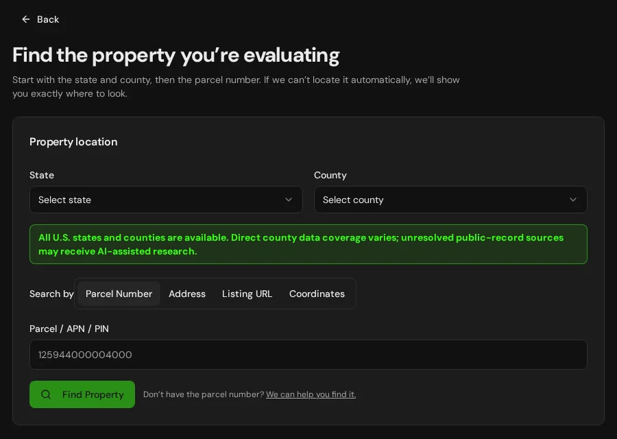
Start with an address, parcel number or listing. Keep the findings and questions for that property together in LandGauge.
On desktop, select an official source below to research side by side. Your review stays open while you switch sources. If a website will not display, use Open in new tab.
Confirm the governing jurisdiction first
Rhode Island's five counties are geographic research doors. Identify the exact city or town before using assessor records, land evidence, zoning, planning, or building contacts. Land evidence is recorded by municipality, and state DEM and CRMC reviews may also apply. A county page does not identify the approving jurisdiction for a specific parcel.
Official research resources
Rhode Island's five counties are geographic research doors. Identify the exact city or town before using assessor records, land evidence, zoning, planning, or building contacts. Land evidence is recorded by municipality, and state DEM and CRMC reviews may also apply. A county page does not identify the approving jurisdiction for a specific parcel.
Tap a resource to see its details, then open the official source. Use your browser’s Back or close control to return here.
GISRhode Island Geographic Information System (RIGIS)
Screen statewide geographic layers and identify the parcel's municipality.
State GIS and tax parcel layers are screening tools, not a survey or proof of title, access or legal lot status. Confirm current data with the city or town assessor.
Open official source : Rhode Island Geographic Information System (RIGIS) (opens in a new tab)PlanningRhode Island cities and towns
Find the official municipal site and the assessor, planning, zoning and building offices for a parcel in Bristol County.
Confirm the exact municipality, current zoning, frontage, subdivision process and approvals with its officials.
Open official source : Rhode Island cities and towns (opens in a new tab)Recorded documentsRhode Island municipal land records
Choose the correct city or town to find available online land evidence records.
Recorded land evidence is municipal. Some records are not online; contact the city or town clerk for complete deeds, plats, easements and restrictions.
Open official source : Rhode Island municipal land records (opens in a new tab)PlanningMunicipal ordinances
Find local ordinances, then confirm the current zoning and subdivision rules with the municipality.
Online text can lag amendments. Verify current rules, maps and official determinations with local planning and zoning staff.
Open official source : Municipal ordinances (opens in a new tab)PlanningRIDEM onsite wastewater (OWTS)
Review state septic requirements. Use the historic permit search for records before April 17, 2025 and the active-permit search for later or current applications. The OWR Application Portal handles OWTS and freshwater-wetlands e-permitting.
A nearby system or map layer does not establish approval for this parcel or a new lot. Check permit history and site-specific design with RIDEM.
Open official source : RIDEM onsite wastewater (OWTS) (opens in a new tab)PlanningRhode Island Department of Health private wells
Review private well testing and construction guidance and confirm parcel-specific water questions.
A neighbor's well does not prove water quality, yield or permission for the subject parcel.
Open official source : Rhode Island Department of Health private wells (opens in a new tab)PlanningRIDEM freshwater wetlands permitting
Check freshwater wetlands rules, determinations and permit paths.
Mapped wetlands are screening layers. Site boundaries, buffers and jurisdiction require the applicable agency's review.
Open official source : RIDEM freshwater wetlands permitting (opens in a new tab)GISRhode Island CRMC coastal maps
Screen coastal hazards and coastal resource questions where a parcel is in a coastal area.
Relevant where coastal jurisdiction or hazards apply. Ask CRMC about site-specific review; a map is not a permit.
Open official source : Rhode Island CRMC coastal maps (opens in a new tab)FloodFEMA Map Service Center
Check effective flood maps and amendments for the exact property location.
Flood risk and local requirements may extend beyond mapped special flood hazard areas.
Open official source : FEMA Map Service Center (opens in a new tab)If this source won’t open
Try opening the source in a new tab. It may be temporarily unavailable or require a browser security check.
Try FEMA’s effective flood map viewer. Confirm the panel and effective date; missing results do not establish that the property is outside a flood zone. You can also ask FEMA’s map specialists for help.
Keep this answer unknown until you can verify it. Save a note about what you still need to check. Opening a link or contacting an office does not confirm an answer.
TerrainNRCS Web Soil Survey
Screen soils and drainage before site work or OWTS planning.
Soil maps do not replace field testing, engineering or approval.
Open official source : NRCS Web Soil Survey (opens in a new tab)FEMA Map Service Center
Check effective flood maps and amendments for the exact property location.
Flood risk and local requirements may extend beyond mapped special flood hazard areas.
Open official sourceIf this source won’t open
Try opening the source in a new tab. It may be temporarily unavailable or require a browser security check.
Try FEMA’s effective flood map viewer. Confirm the panel and effective date; missing results do not establish that the property is outside a flood zone. You can also ask FEMA’s map specialists for help.
Keep this answer unknown until you can verify it. Save a note about what you still need to check. Opening a link or contacting an office does not confirm an answer.
A practical Bristol County research sequence
Follow the exact municipality for land records and local decisions. Maps and statewide guidance begin the inquiry; recorded rights, municipal decisions and site conditions need property-specific evidence.
- 1
Match the assessor parcel and the city or town
Use RIGIS and the city or town assessor to locate the tax parcel; obtain a survey where boundaries matter.
- 2
Find recorded deeds, plans and rights
Find the correct city or town land evidence office; review deeds, plats, easements and restrictions with title professionals.
- 3
Ask local officials about the proposed use
Confirm zoning, legal lot status, frontage, subdivision, access and utilities with the municipality's planning and zoning officials.
- 4
Check health, wetlands and flood constraints
Check RIDEM OWTS and freshwater wetlands permits, RIDOH private well guidance, FEMA flood maps and CRMC coastal jurisdiction where relevant.
Why Bristol County research requires local verification
RIGIS provides statewide screening layers, while cities and towns handle zoning, assessment and land evidence. RIDEM and CRMC may review wastewater, wetlands and coastal work. Check current records, recorded plats and site conditions with the responsible offices before relying on a proposed use or split.
Bristol County, Rhode Island GIS and zoning questions
Where can I find Bristol County parcel information?
Start with RIGIS and check the city or town assessor's current record. Assessor polygons are not surveyed legal boundaries.
Who decides zoning and subdivision in Bristol County?
Identify the exact city or town and confirm its current zoning, planning, subdivision and legal lot requirements with local officials. The county name alone does not identify the approval path.
Where are deeds, plats and easements recorded?
Rhode Island land evidence records are kept by city or town. Use the state municipal land records directory, then contact the city or town clerk if records are not online.
Who handles septic and private wells?
Check RIDEM OWTS permit history and design requirements; consult RIDOH private well guidance and confirm site-specific conditions.
How do I check wetlands and flood risk?
Screen RIGIS and effective FEMA maps, then ask RIDEM about freshwater wetland boundaries and permits. A blank map does not clear a site.
Do coastal rules apply?
Only if the property and proposed work fall within an applicable coastal resource area. Use CRMC coastal maps as a screening tool and seek a site-specific agency determination.
Turn the research into a property record
Start with Rhode Island and Bristol County preselected. Add the address, parcel identifier or listing URL, then organize official findings, seller claims and unanswered questions.
Start the Property ReviewLandGauge organizes research starting points. County and map information may change and does not replace a survey, title examination, engineering review, floodplain determination, permit decision or professional advice.