Wasco County, Oregon GIS, parcel, zoning and land-record resources
A county parcel map is a starting point for locating land and finding its public records. Use official Oregon and Wasco County research paths to locate the tax lot, confirm jurisdiction, interpret land-use rules, review underlying records and preserve every unresolved question in one due-diligence record.
Keep your research beside your property review
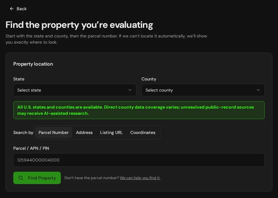
Start with an address, parcel number or listing. Keep the findings and questions for that property together in LandGauge.
On desktop, select an official source below to research side by side. Your review stays open while you switch sources. If a website will not display, use Open in new tab.
Confirm the governing jurisdiction first
Wasco County resources generally govern unincorporated land. Incorporated cities may administer separate zoning, comprehensive plans and permits. Confirm city versus county authority, urban-growth-boundary status and the current local code before relying on a map.
Official research resources
Wasco County resources generally govern unincorporated land. Incorporated cities may administer separate zoning, comprehensive plans and permits. Confirm city versus county authority, urban-growth-boundary status and the current local code before relying on a map.
Tap a resource to see its details, then open the official source. Use your browser’s Back or close control to return here.
GISOregon GEOHub parcel viewer and county links
Locate the tax lot and open the county assessor website or map viewer listed by Oregon GEOHub.
Oregon GEOHub states that the linked assessor sites and map viewers are maintained by the counties. Parcel geometry is a research starting point, not a survey.
Open official source : Oregon GEOHub parcel viewer and county links (opens in a new tab)Parcel recordsWasco County assessor contact path
Use Oregon Department of Revenue's official county assessor directory to reach the office responsible for county-assessed property records.
The Oregon Department of Revenue is not the custodian of most residential and commercial property records; the county assessor is.
Open official source : Wasco County assessor contact path (opens in a new tab)PlanningWasco County planning and zoning starting point
Open Oregon's official county directory, select Wasco County, and continue to the county planning or community-development office.
Confirm whether the parcel is inside a city, outside city limits, or affected by an urban growth boundary before selecting the controlling zoning code.
Open official source : Wasco County planning and zoning starting point (opens in a new tab)Recorded documentsWasco County records inventory
Review the Oregon State Archives inventory for recorded deeds, plats, surveys, easements and other county record series, then request current instruments from the county clerk or recording office.
An inventory describes records and repositories; it is not a title report or a complete current document index.
Open official source : Wasco County records inventory (opens in a new tab)ZoningOregon land-use maps, data and planning rules
Use Department of Land Conservation and Development tools to understand statewide planning goals, local comprehensive plans, zoning and land-division requirements.
Exclusive Farm Use, forest, resource, rural and urban-growth-boundary rules can materially limit dwellings, divisions and changes of use. Verify the property-specific rule with the local government.
Open official source : Oregon land-use maps, data and planning rules (opens in a new tab)PlanningOregon onsite septic records and contacts
Use Oregon DEQ guidance to locate onsite wastewater records by parcel number and identify the responsible county or DEQ agent.
DEQ maintains septic records for Curry, Jackson and Josephine, and records created before June 1, 2025 for Baker, Union and Wallowa. For later records in those three counties and for other counties, contact the local agent listed by DEQ. A missing online record does not prove that a system was approved or installed.
Open official source : Oregon onsite septic records and contacts (opens in a new tab)Recorded documentsOregon Water Rights Information System
Research water-right applications, permits, certificates, transfers, leases, points of diversion and places of use.
OWRD advises users to review the actual water-right record rather than relying only on interpreted database information.
Open official source : Oregon Water Rights Information System (opens in a new tab)TerrainOregon HazVu geologic-hazards viewer
Screen landslides, earthquake shaking, faults, volcano hazards, flood context and, where applicable, tsunami and coastal erosion.
HazVu is a screening tool. Property-level engineering, geotechnical, floodplain or coastal-hazard review may still be required.
Open official source : Oregon HazVu geologic-hazards viewer (opens in a new tab)FloodFEMA Map Service Center
Locate effective National Flood Insurance Program maps and related flood-map products.
Distinguish effective maps from preliminary or historical products and confirm local floodplain requirements.
Open official source : FEMA Map Service Center (opens in a new tab)If this source won’t open
Try opening the source in a new tab. It may be temporarily unavailable or require a browser security check.
Try FEMA’s effective flood map viewer. Confirm the panel and effective date; missing results do not establish that the property is outside a flood zone. You can also ask FEMA’s map specialists for help.
Keep this answer unknown until you can verify it. Save a note about what you still need to check. Opening a link or contacting an office does not confirm an answer.
TerrainUSGS National Map
Screen elevation, contours, hydrography and topographic context from a federal source.
Regional terrain data does not replace a boundary, topographic or site survey.
Open official source : USGS National Map (opens in a new tab)FEMA Map Service Center
Locate effective National Flood Insurance Program maps and related flood-map products.
Distinguish effective maps from preliminary or historical products and confirm local floodplain requirements.
Open official sourceIf this source won’t open
Try opening the source in a new tab. It may be temporarily unavailable or require a browser security check.
Try FEMA’s effective flood map viewer. Confirm the panel and effective date; missing results do not establish that the property is outside a flood zone. You can also ask FEMA’s map specialists for help.
Keep this answer unknown until you can verify it. Save a note about what you still need to check. Opening a link or contacting an office does not confirm an answer.
A practical Wasco County research sequence
Oregon's statewide planning system works through local comprehensive plans and zoning codes. Parcel, zoning, septic, water-right and hazard sources answer different questions and must be reconciled.
- 1
Locate the tax lot and governing jurisdiction
Start with the map and tax-lot number, then confirm whether the property is inside a city, in unincorporated county territory, or affected by an urban growth boundary.
- 2
Apply the local plan and zoning code
Check the comprehensive-plan designation, zoning district, overlays, allowed uses, dwelling standards, minimum parcel size and land-division rules for the confirmed jurisdiction.
- 3
Open the underlying records
Review deeds, plats, surveys, easements, water-right records and septic records. Do not treat an index, map layer or seller statement as the final instrument.
- 4
Verify physical and environmental constraints
Investigate access, roads, wells, water rights, septic feasibility, utilities, flood, wildfire, slope, landslide, geology and any coastal hazards that apply.
Why Wasco County research still requires manual verification
County systems vary, and current deeds, surveys, permits, septic files and planning decisions may require registration, payment, email, a phone call or an in-person request. Resource-zone, access, water and buildability conclusions require property-specific confirmation.
Wasco County, Oregon GIS and zoning questions
Where is the official Wasco County, Oregon parcel map?
Start with Oregon GEOHub's parcel page, which lists county-maintained assessor websites and map viewers. Use the tax-lot result to continue with the county assessor and other offices.
Does Wasco County zoning apply inside every city?
No. Incorporated cities can maintain separate comprehensive plans, zoning maps, development codes and permit processes. Confirm jurisdiction and urban-growth-boundary status before selecting a code.
Can Oregon farm or forest land be divided or used for a dwelling?
Possibly, but resource-zone rules can impose strict use tests, minimum parcel sizes, dwelling criteria and approval procedures. The map label alone is not an approval; verify the current local code and property facts.
How do I check septic and water rights in Wasco County?
Use the DEQ onsite-record guidance to identify the responsible local agent and search by parcel number. Use OWRD's Water Rights Information System, then review the actual permit, certificate or other underlying record.
What if an Oregon county record is not online?
Keep the item marked as needing verification and contact the county assessor, clerk, surveyor, planning office or environmental-health office. Missing online information is not evidence that a right, restriction or approval does not exist.
Turn the research into a property record
Start with Oregon and Wasco County preselected. Add the address, tax lot, parcel number or listing URL, then save official findings, seller claims and unresolved questions in one Property Review.
Start the Property ReviewLandGauge organizes research starting points. County and map information may change and does not replace a survey, title examination, engineering review, floodplain determination, permit decision or professional advice.