Hardin County, Ohio GIS, parcel, zoning and land-record resources
A county parcel map is a starting point for locating land and finding its public records. Use official Ohio and Hardin County research paths to locate the parcel, identify reviewing offices, investigate records and site constraints, and keep unresolved questions in one Property Review.
Keep your research beside your property review
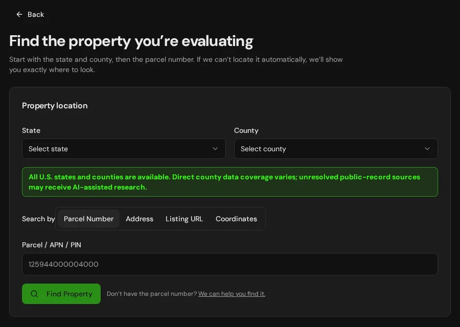
Start with an address, parcel number or listing. Keep the findings and questions for that property together in LandGauge.
On desktop, select an official source below to research side by side. Your review stays open while you switch sources. If a website will not display, use Open in new tab.
Confirm the governing jurisdiction first
Hardin County is a geographic starting point, not proof of development authority. Confirm the township, city or village, county or regional planning office, local health district, road authority and floodplain administrator serving the property. Zoning, subdivision, building, sewage and water approvals can involve different offices. Tax classification is not zoning. These research pages do not expand automated parcel coverage or establish buildability.
Official research resources
Hardin County is a geographic starting point, not proof of development authority. Confirm the township, city or village, county or regional planning office, local health district, road authority and floodplain administrator serving the property. Zoning, subdivision, building, sewage and water approvals can involve different offices. Tax classification is not zoning. These research pages do not expand automated parcel coverage or establish buildability.
Tap a resource to see its details, then open the official source. Use your browser’s Back or close control to return here.
GISOhio statewide parcels — OGRIP
Locate the county and parcel through Ohio's statewide parcel-data portal, then reconcile the parcel identifier and source date with local records.
The statewide dataset aggregates county records; dates, attributes and completeness vary. A mapped boundary is not a survey, title opinion, zoning determination or guarantee that a live lookup will succeed.
Open official source : Ohio statewide parcels — OGRIP (opens in a new tab)Parcel recordsHardin County auditor — association directory
Use this county's County Auditors Association of Ohio profile to identify the current property office and its website. This is an office-discovery directory, not a direct parcel query.
Confirm the actual parcel, acreage, source date and assessment record with the office. Assessment and payment records do not prove legal-lot status, ownership, access or development approval.
Open official source : Hardin County auditor — association directory (opens in a new tab)PlanningHardin County planning — county-roster starting point
Use Ohio's county roster to begin identifying county offices, then locate the current township, city or village and planning authority. This is an office-discovery fallback, not a direct county zoning lookup.
The roster includes dated 2023–2024 entries; independently confirm current staff and contacts. A comprehensive plan is not zoning. Verify current jurisdiction, setbacks, lot dimensions, subdivision, access, utilities and overlays with the responsible office.
Open official source : Hardin County planning — county-roster starting point (opens in a new tab)Recorded documentsHardin County land records — Ohio Recorders directory
Select the county in the Ohio Recorders' Association directory to locate the recording office and its available land-record search options.
Review the actual instruments and recording references. Online coverage, registration, fees and historical images vary. Request missing records from the office; tax maps and court-case searches do not replace a title review.
Open official source : Hardin County land records — Ohio Recorders directory (opens in a new tab)PlanningOhio sewage treatment and septic guidance
Use Ohio EPA's household sewage guidance to identify Ohio Department of Health and local health-district responsibilities, then contact the district serving the site.
The health district may be city, county or combined. Confirm current rules, sewer availability, soils, seasonal water conditions, system design, replacement area and any discharge approvals. Acreage or a neighboring system is not septic approval.
Open official source : Ohio sewage treatment and septic guidance (opens in a new tab)PlanningOhio private-water-system rules
Review Ohio's private-water-system rules and ask the local health district about permits, siting, construction and testing for the proposed water source.
This is a rule reference, not a permit portal. Confirm current requirements and whether the proposed use is a private or public water system; a private well does not automatically authorize a subdivision or public supply.
Open official source : Ohio private-water-system rules (opens in a new tab)Recorded documentsODNR water-well logs
Search Ohio Department of Natural Resources well records for the property and surrounding area; compare locations and completion information carefully.
Record locations and coverage can be incomplete. A nearby well does not establish yield, water quality, a water right or approval for the proposed use. Obtain actual records and site-specific testing.
Open official source : ODNR water-well logs (opens in a new tab)PlanningOhio EPA water-quality certification guidance
Review Ohio EPA's Section 401 guidance, then ask about current state and federal wetland and water approvals, including any isolated-wetland requirements.
This guidance is not a jurisdictional determination. Confirm actual field conditions, proposed fill or work, current permit requirements and the responsible state and federal offices.
Open official source : Ohio EPA water-quality certification guidance (opens in a new tab)Recorded documentsOhio CAUV conversion and recoupment rules
Review Ohio's Current Agricultural Use Valuation conversion provisions and ask the auditor or Fiscal Office about enrollment and a proposed transfer, split or change of use.
CAUV is not zoning or a conservation easement. Confirm actual enrollment, conversion facts and potential tax consequences with the property office and qualified advisers; do not assume every sale triggers recoupment.
Open official source : Ohio CAUV conversion and recoupment rules (opens in a new tab)TerrainODNR geology and mine-data catalog
Use ODNR's statewide geologic and soils data inventory to locate available abandoned underground mine and geology datasets. Some resources require GIS software.
This is a data catalog, not a parcel hazard determination. A missing mine polygon is not evidence of no mining or subsidence risk. Confirm records and site conditions with ODNR and qualified geotechnical professionals.
Open official source : ODNR geology and mine-data catalog (opens in a new tab)FloodFEMA Flood Map Service Center
Locate the effective FEMA flood map (FIRM) and Letters of Map Change for the property.
Confirm the effective map and requirements with the local floodplain administrator. Planning layers do not replace the effective FIRM, and an unmapped area is not evidence of no flood risk.
Open official source : FEMA Flood Map Service Center (opens in a new tab)If this source won’t open
Try opening the source in a new tab. It may be temporarily unavailable or require a browser security check.
Try FEMA’s effective flood map viewer. Confirm the panel and effective date; missing results do not establish that the property is outside a flood zone. You can also ask FEMA’s map specialists for help.
Keep this answer unknown until you can verify it. Save a note about what you still need to check. Opening a link or contacting an office does not confirm an answer.
GISNational Wetlands Inventory mapper
Screen mapped wetlands and water features that may affect building areas, drainage and access.
NWI is a screening layer, not a jurisdictional delineation or permit decision. Confirm field conditions and agency requirements for the proposed activity.
Open official source : National Wetlands Inventory mapper (opens in a new tab)TerrainNRCS Web Soil Survey
Screen soil types, drainage and potential limitations for septic systems, roads and foundations.
Regional soil ratings do not replace an on-site soil evaluation, septic design or engineering review.
Open official source : NRCS Web Soil Survey (opens in a new tab)Recorded documentsBIA Land Titles and Records Offices
Identify the office of record when the property may involve trust, restricted or allotted Indian land.
A county or reservation boundary does not settle parcel land status. Confirm title evidence and the responsible tribal and federal authorities for the specific decision.
Open official source : BIA Land Titles and Records Offices (opens in a new tab)TerrainUSGS National Map
Screen elevation, contours, drainage and terrain context around the property.
A mapped road does not establish legal access or public maintenance. Confirm easements, road authority, seasonal conditions and site constraints separately.
Open official source : USGS National Map (opens in a new tab)FEMA Flood Map Service Center
Locate the effective FEMA flood map (FIRM) and Letters of Map Change for the property.
Confirm the effective map and requirements with the local floodplain administrator. Planning layers do not replace the effective FIRM, and an unmapped area is not evidence of no flood risk.
Open official sourceIf this source won’t open
Try opening the source in a new tab. It may be temporarily unavailable or require a browser security check.
Try FEMA’s effective flood map viewer. Confirm the panel and effective date; missing results do not establish that the property is outside a flood zone. You can also ask FEMA’s map specialists for help.
Keep this answer unknown until you can verify it. Save a note about what you still need to check. Opening a link or contacting an office does not confirm an answer.
A practical Hardin County research sequence
Parcel maps and office directories are starting points. Zoning, subdivision, sewage, water supply, wetlands, access and buildability require current property-specific evidence.
- 1
Locate the parcel and responsible offices
Start with Ohio's statewide parcel portal and the county auditor or Fiscal Office. Compare identifiers and source dates with recorded instruments and a survey. Identify the actual township, city or village and the relevant planning, health-district and road offices.
- 2
Separate zoning, subdivision and agricultural valuation
Obtain current zoning and subdivision requirements, including setbacks, lot dimensions, access, utilities and overlays. CAUV agricultural valuation is not zoning, a conservation easement or a right to split or build. Confirm any conversion or recoupment questions separately.
- 3
Review actual land and utility records
Obtain deeds, plats, easements and covenants from the county Recorder or, in Cuyahoga and Summit, the Fiscal Office. Verify actual well logs, water-service commitments, sewage approvals and any capacity or use restrictions.
- 4
Investigate site constraints and permits
Check effective flood maps, wetlands, soils, terrain, drainage, legal access and available mining records. Lake Erie shoreline sites may need coastal review. A missing map feature does not establish that a hazard or approval requirement is absent.
Why Hardin County research still requires manual verification
Current deeds, plats, easements, planning files, sewage approvals, well records and CAUV enrollment may require registration, payment, email, a phone call or an in-person request. Confirm actual records, site conditions and responsible authorities before relying on a conclusion.
Hardin County, Ohio GIS and zoning questions
Where can I find Hardin County, Ohio parcel information?
Start with the OGRIP statewide parcel portal and the county auditor or Fiscal Office resource on this page. County source dates and completeness vary. Compare the parcel identifier, acreage and mapped boundary with actual records. These research pages do not expand automated parcel lookup or turn a tax map into a survey.
Does CAUV mean I can subdivide or build?
No. Current Agricultural Use Valuation is a tax program, not zoning or development approval. Confirm zoning, subdivision review, legal access and utilities with the actual jurisdiction. Ask the auditor or Fiscal Office and qualified advisers about enrollment, a proposed split or change of use and possible recoupment.
Who handles septic and private-water review?
Contact the local health district serving the actual property; it may be city, county or combined. Review Ohio sewage guidance and private-water rules, then confirm sewer availability, site and soil evaluation, permits, water testing and system capacity. A neighboring system or well does not establish approval.
Where do I research deeds, plats and easements?
Start with the county Recorder's office. Cuyahoga and Summit use their Fiscal Offices for recorded-document functions. The Ohio Recorders' Association directory is an office-discovery starting point; access, fees and historical coverage vary. Review actual documents and obtain missing records and qualified title advice.
Does county planning control every parcel's zoning?
No. Township, city or village zoning and county or regional subdivision review can be separate. Identify the actual jurisdiction and current ordinance. Cuyahoga County Planning does not maintain municipal zoning maps or codes. A comprehensive plan or dated county roster is not a parcel zoning determination.
Do empty flood, wetland or mine maps rule out constraints?
No. Confirm effective FEMA maps, actual wetlands, drainage, soils and mining or subsidence concerns separately. Inventory coverage is incomplete and screening layers are not permit or hazard determinations. Obtain site-specific review and agency guidance where needed.
Turn the research into a property record
Start with Ohio and Hardin County preselected. Add an address, parcel number or listing URL, then save official findings, seller claims and unresolved questions in one Property Review.
Start the Property ReviewLandGauge organizes research starting points. County and map information may change and does not replace a survey, title examination, engineering review, floodplain determination, permit decision or professional advice.