Kings County, New York GIS, parcel, zoning and land-record resources
A county parcel map is a starting point for locating land and finding its public records. Research Brooklyn through NYC's digital tax map, ZoLa and ACRIS, then organize current evidence in a Property Review.
Keep your research beside your property review
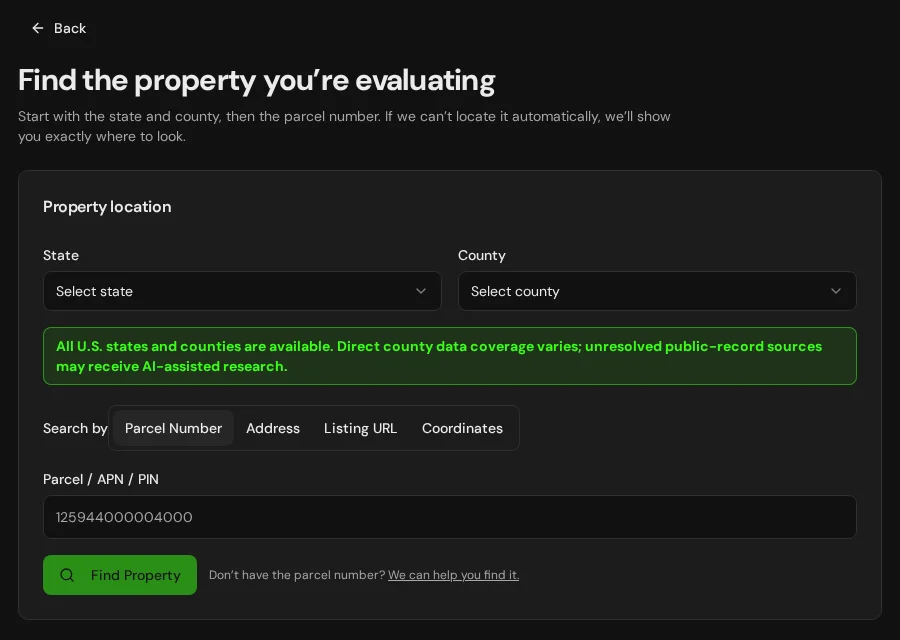
Start with an address, parcel number or listing. Keep the findings and questions for that property together in LandGauge.
On desktop, select an official source below to research side by side. Your review stays open while you switch sources. If a website will not display, use Open in new tab.
Confirm the governing jurisdiction first
Kings County corresponds to the Brooklyn borough of New York City. Use the NYC digital tax map and ZoLa for city context, and ACRIS for recorded land documents. Verify the current borough/block/lot, legal rights, applicable zoning and permits with the responsible offices.
Official research resources
Kings County corresponds to the Brooklyn borough of New York City. Use the NYC digital tax map and ZoLa for city context, and ACRIS for recorded land documents. Verify the current borough/block/lot, legal rights, applicable zoning and permits with the responsible offices.
Tap a resource to see its details, then open the official source. Use your browser’s Back or close control to return here.
Recorded documentsKings County state directory profile
Find the county's government website and local offices from the New York State county directory.
This is a county contact route, not an assessment, zoning, title or permit determination. Follow through to the responsible local office.
Open official source : Kings County state directory profile (opens in a new tab)GISNYC Property Information Portal and digital tax map
Search the borough, block and lot and review NYC Department of Finance property and tax-map information.
A city tax map is for assessment and research, not a survey or a legal boundary. Confirm the correct borough, block and lot.
Open official source : NYC Property Information Portal and digital tax map (opens in a new tab)PlanningNYC ZoLa zoning and land-use map
Screen the City Planning zoning designation and nearby land-use context for Brooklyn.
Confirm the applicable Zoning Resolution, map amendments and proposal with NYC City Planning and other city agencies.
Open official source : NYC ZoLa zoning and land-use map (opens in a new tab)PlanningNYC Zoning Resolution
Read the operative zoning text and maps for the proposed use and lot.
A map label alone does not approve a particular building, subdivision or use.
Open official source : NYC Zoning Resolution (opens in a new tab)Recorded documentsNYC ACRIS recorded land documents
Search recorded deeds and document images through the NYC City Register for Brooklyn.
ACRIS covers Bronx, Brooklyn, Manhattan and Queens; it does not hold Staten Island land documents. Check the actual instrument and any older records separately.
Open official source : NYC ACRIS recorded land documents (opens in a new tab)GISNYSDEC Environmental Resource Mapper
Screen mapped freshwater wetlands, streams and other environmental resources.
DEC says the mapper does not display every regulated resource. Check current jurisdiction and any field delineation or permits with the agency.
Open official source : NYSDEC Environmental Resource Mapper (opens in a new tab)PlanningNYSDEC Freshwater Wetlands Program
Review current state wetland jurisdiction and permit guidance.
An empty map is not a wetland clearance. Following the April 8, 2026 court decision, DEC's current guidance requires applications for projects that impact previously mapped freshwater wetlands or wetlands of at least 12.4 acres. The statutory size threshold is scheduled to decrease to 7.4 acres on January 1, 2028. Request a DEC jurisdictional determination rather than rely on the mapper. Determinations issued January 1, 2025 through April 8, 2026 may qualify for reassessment; ask DEC to review eligibility. State and federal rules may require separate review.
Open official source : NYSDEC Freshwater Wetlands Program (opens in a new tab)FloodFEMA Map Service Center
Locate effective flood insurance maps, panels and revisions for the property.
Flood risk and local restrictions can exist outside mapped special flood hazard areas.
Open official source : FEMA Map Service Center (opens in a new tab)If this source won’t open
Try opening the source in a new tab. It may be temporarily unavailable or require a browser security check.
Try FEMA’s effective flood map viewer. Confirm the panel and effective date; missing results do not establish that the property is outside a flood zone. You can also ask FEMA’s map specialists for help.
Keep this answer unknown until you can verify it. Save a note about what you still need to check. Opening a link or contacting an office does not confirm an answer.
TerrainNRCS Web Soil Survey
Review mapped drainage and soils relevant to septic, foundations and site access.
Mapped soils do not substitute for site testing, engineering or approvals.
Open official source : NRCS Web Soil Survey (opens in a new tab)TerrainUSGS National Map
Screen topography, drainage and displayed roads near the site.
A displayed road does not establish legal access or a buildable envelope.
Open official source : USGS National Map (opens in a new tab)FEMA Map Service Center
Locate effective flood insurance maps, panels and revisions for the property.
Flood risk and local restrictions can exist outside mapped special flood hazard areas.
Open official sourceIf this source won’t open
Try opening the source in a new tab. It may be temporarily unavailable or require a browser security check.
Try FEMA’s effective flood map viewer. Confirm the panel and effective date; missing results do not establish that the property is outside a flood zone. You can also ask FEMA’s map specialists for help.
Keep this answer unknown until you can verify it. Save a note about what you still need to check. Opening a link or contacting an office does not confirm an answer.
A practical Kings County research sequence
Maps and directories are starting points. Confirm current recorded rights, zoning, access, utilities, flood, wetlands and approvals with property-specific evidence.
- 1
Match the borough, block and lot
Use NYC's Property Information Portal and digital tax map to identify the property, then compare with a survey and recorded instruments.
- 2
Review NYC zoning and land use
Use ZoLa to screen the zoning district, read the Zoning Resolution, and confirm the proposed use or development with City Planning and other city agencies.
- 3
Find recorded land documents
Use ACRIS for Bronx, Brooklyn, Manhattan and Queens; Staten Island records are held by the Richmond County Clerk. Review deeds, easements and restrictions with title professionals.
- 4
Screen flood and wetlands
Check effective FEMA maps, state environmental layers and any applicable city or coastal rules. Confirm requirements for the exact block and lot.
Why Kings County research still requires manual verification
NYC's digital tax map and ZoLa give assessment and planning context; recorded documents and a survey establish separate evidence. City agency approvals and environmental rules depend on the actual borough, block, lot and proposal.
Kings County, New York GIS and zoning questions
Which New York City borough is Kings County?
Kings County corresponds to Brooklyn. Use the borough, block and lot in the NYC digital tax map and verify the property with current records and a survey.
Where do I check zoning?
Screen ZoLa and read the NYC Zoning Resolution, then confirm the proposal and any applicable approvals with City Planning and other city agencies.
Where do I check recorded deeds and easements?
Use NYC ACRIS for Brooklyn recorded land documents, and check older records as needed. ACRIS does not hold Staten Island land documents.
Does a digital tax map establish boundaries or buildability?
No. Compare recorded documents and survey evidence, applicable zoning and permits, environmental constraints, and access before relying on a proposed use.
How do I check flood and wetlands?
Screen effective FEMA maps and NYSDEC resources and confirm any city, state or federal requirements for the exact property. A blank screening layer is not clearance.
Turn the research into a property record
Start with New York and Kings County preselected. Add an address, parcel identifier or listing URL and organize official findings and open questions in one Property Review.
Start the Property ReviewLandGauge organizes research starting points. County and map information may change and does not replace a survey, title examination, engineering review, floodplain determination, permit decision or professional advice.