Stanton County, Kansas GIS, parcel, zoning and land-record resources
A county parcel map is a starting point for locating land and finding its public records. Use official Kansas and Stanton County research paths to locate the parcel, confirm jurisdiction, review planning and wastewater requirements, open land and water records, and preserve unresolved questions in one due-diligence record.
Keep your research beside your property review
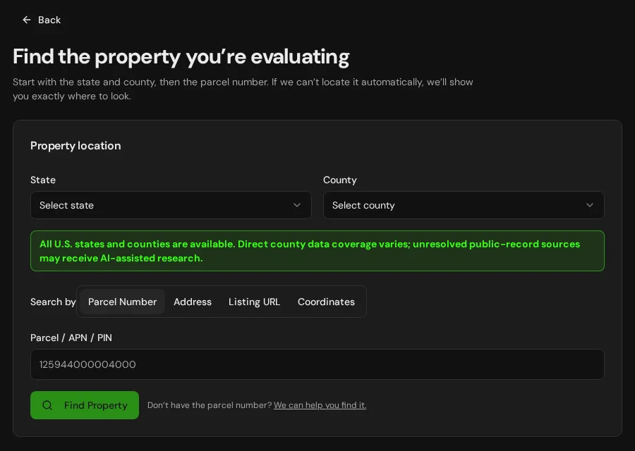
Start with an address, parcel number or listing. Keep the findings and questions for that property together in LandGauge.
On desktop, select an official source below to research side by side. Your review stays open while you switch sources. If a website will not display, use Open in new tab.
Confirm the governing jurisdiction first
Stanton County is a geographic starting point, not proof of permitting authority. Confirm county versus city jurisdiction, any applicable extraterritorial planning or subdivision authority, township road responsibility, local sanitary-code administration, groundwater-district rules and state or federal requirements. Reservation boundaries do not determine fee, trust, restricted or allotted land status; confirm tribal and federal authority where relevant. These research links do not expand automated Kansas parcel coverage.
Official research resources
Stanton County is a geographic starting point, not proof of permitting authority. Confirm county versus city jurisdiction, any applicable extraterritorial planning or subdivision authority, township road responsibility, local sanitary-code administration, groundwater-district rules and state or federal requirements. Reservation boundaries do not determine fee, trust, restricted or allotted land status; confirm tribal and federal authority where relevant. These research links do not expand automated Kansas parcel coverage.
Tap a resource to see its details, then open the official source. Use your browser’s Back or close control to return here.
GISKansas ORKA county directory — select Stanton County
Use the statewide ORKA directory to identify the mapping or appraiser access available for Stanton County. This link opens a directory, not a county-specific parcel result.
Access and data currency vary by county; some viewers require registration or have limited public data. A mapped boundary or calculated acreage is not a survey, title determination or development approval.
Open official source : Kansas ORKA county directory — select Stanton County (opens in a new tab)Parcel recordsStanton County Appraiser — county office directory
Open the county government site and locate the Appraiser. This is an office-discovery path, not a direct parcel-record search.
Tax assessment records are research leads. Confirm legal acreage, title, access and permitted use with the underlying records and responsible authorities.
Open official source : Stanton County Appraiser — county office directory (opens in a new tab)PlanningStanton County planning authority — county office directory
Start at the county government site and ask the Clerk or administration which office handles land use, subdivision, building and floodplain permits. This is a contact-discovery path, not a zoning lookup.
Confirm the property's governing city or county, current regulations, road standards, setbacks and approvals. A rural location or tax parcel does not establish permission to build or split land.
Open official source : Stanton County planning authority — county office directory (opens in a new tab)Recorded documentsStanton County Register of Deeds — county office directory
Open the county government site and locate the Register of Deeds to request the underlying land records. This is an office-discovery path, not a document search.
Online indexes and document availability vary; copies may require a request, account or fee. Review title exceptions and recorded instruments rather than treating map lines as legal access or boundaries.
Open official source : Stanton County Register of Deeds — county office directory (opens in a new tab)PlanningKDHE onsite wastewater and county sanitary codes
Use the Kansas Department of Health and Environment Local Environmental Protection Program to find sanitary-code guidance and the county-code directory.
Confirm the local reviewer, soil evaluation, setbacks, system design and approval for the intended use. A nearby septic system or an existing lagoon does not approve another dwelling or lot.
Open official source : KDHE onsite wastewater and county sanitary codes (opens in a new tab)Recorded documentsKansas water well completion records (WWC5)
Search Kansas Geological Survey well-completion records by county or legal description and open the drilling records for the actual well.
A completion record or nearby well does not establish today's yield, water quality, a shared-well right or permission for the proposed use. Confirm the well location, condition, testing and supply separately.
Open official source : Kansas water well completion records (WWC5) (opens in a new tab)Recorded documentsKansas WIMAS water-right research
Use the KGS and Division of Water Resources Water Information Management and Analysis System to research water-right files and mapped water use.
WIMAS is a research snapshot, not proof of current legal standing or lawful use. Confirm the actual right, authorized use and place, quantity, priority, changes and current standing with the Division of Water Resources; follow the site's access and use terms.
Open official source : Kansas WIMAS water-right research (opens in a new tab)PlanningKansas Division of Water Resources — water appropriation
Find the state program responsible for water appropriation, applications and water-right administration.
Confirm requirements for the specific domestic, irrigation, commercial or shared supply. Land ownership and an existing well do not by themselves establish approval for a new use or additional lots.
Open official source : Kansas Division of Water Resources — water appropriation (opens in a new tab)PlanningKansas groundwater management districts
Identify whether the property is within a groundwater management district and find the responsible district's research and contact resources.
Districts do not cover every Kansas property. Confirm boundaries, spacing, allocations and any intensive groundwater-use control area or local enhanced management area requirements with the district and state.
Open official source : Kansas groundwater management districts (opens in a new tab)FloodFEMA Flood Map Service Center
Locate the effective FEMA flood map (FIRM) and Letters of Map Change for the property.
Confirm the effective map and requirements with the local floodplain administrator. Planning layers do not replace the effective FIRM, and an unmapped area is not evidence of no flood risk.
Open official source : FEMA Flood Map Service Center (opens in a new tab)If this source won’t open
Try opening the source in a new tab. It may be temporarily unavailable or require a browser security check.
Try FEMA’s effective flood map viewer. Confirm the panel and effective date; missing results do not establish that the property is outside a flood zone. You can also ask FEMA’s map specialists for help.
Keep this answer unknown until you can verify it. Save a note about what you still need to check. Opening a link or contacting an office does not confirm an answer.
GISNational Wetlands Inventory mapper
Screen mapped wetlands and water features that may affect building areas, drainage and access.
NWI is a screening layer, not a jurisdictional delineation or permit decision. Confirm field conditions and agency requirements for the proposed activity.
Open official source : National Wetlands Inventory mapper (opens in a new tab)TerrainNRCS Web Soil Survey
Screen soil types, drainage and potential limitations for septic systems, roads and foundations.
Regional soil ratings do not replace an on-site soil evaluation, septic design or engineering review.
Open official source : NRCS Web Soil Survey (opens in a new tab)Recorded documentsBIA Land Titles and Records Offices
Identify the office of record when the property may involve trust, restricted or allotted Indian land.
A county or reservation boundary does not settle parcel land status. Confirm title evidence and the responsible tribal and federal authorities for the specific decision.
Open official source : BIA Land Titles and Records Offices (opens in a new tab)TerrainUSGS National Map
Screen elevation, contours, drainage and terrain context around the property.
A mapped road does not establish legal access or public maintenance. Confirm easements, road authority, seasonal conditions and site constraints separately.
Open official source : USGS National Map (opens in a new tab)FEMA Flood Map Service Center
Locate the effective FEMA flood map (FIRM) and Letters of Map Change for the property.
Confirm the effective map and requirements with the local floodplain administrator. Planning layers do not replace the effective FIRM, and an unmapped area is not evidence of no flood risk.
Open official sourceIf this source won’t open
Try opening the source in a new tab. It may be temporarily unavailable or require a browser security check.
Try FEMA’s effective flood map viewer. Confirm the panel and effective date; missing results do not establish that the property is outside a flood zone. You can also ask FEMA’s map specialists for help.
Keep this answer unknown until you can verify it. Save a note about what you still need to check. Opening a link or contacting an office does not confirm an answer.
A practical Stanton County research sequence
County mapping and statewide water, flood, wetland and soil resources are valuable starting points, but land-use, platting, recording, septic, water, access and jurisdiction questions still require property-specific confirmation.
- 1
Locate the parcel and confirm the governing authority
Start with the county GIS or Kansas ORKA directory and the county Appraiser. Confirm county or city planning authority, local sanitary-code administration, groundwater districts where applicable, and tribal, state or federal authority.
- 2
Verify zoning, subdivision and wastewater requirements
Confirm allowed uses, setbacks, minimum parcel size, plat procedure, road and approach standards, building requirements and who reviews on-site wastewater for the property.
- 3
Open the underlying land and water records
Review the current deed, plat, survey, easements, covenants, title exceptions, well-completion records, water rights and changes of use, mineral reservations and any trust or restricted land-status records.
- 4
Verify physical, flood and access constraints
Investigate legal and physical access, road authority, utilities, wells, septic feasibility, the effective FEMA flood map, wetlands, soils, drainage, terrain and seasonal conditions.
Why Stanton County research still requires manual verification
Current deeds, plats, surveys, easements, subdivision files, septic approvals, water rights, well records, mineral reservations, trust land-status records and planning decisions may require email, a phone call, payment, registration or an in-person request. Access, water, wastewater, flood, wetland, jurisdiction and buildability conclusions require property-specific evidence.
Stanton County, Kansas GIS and zoning questions
Where is the official Stanton County, Kansas parcel map?
Use the county mapping link or the Kansas ORKA directory to identify the available viewer, then contact the Stanton County Appraiser and confirm the parcel identifier, legal description and acreage with the Appraiser and Register of Deeds. A parcel map is not a survey or title record.
Does a Kansas tax parcel prove I can build or split the land?
No. A tax parcel or mapped boundary is not a plat approval, legal-access determination, survey, septic approval or building permit. Confirm every county, city, groundwater-district, tribal and state requirement for the proposed use.
How do tribal and local jurisdiction affect Stanton County?
A county location or reservation boundary does not determine fee, trust, restricted or allotted status and does not identify every permitting authority. Confirm the parcel's land status with title evidence, the county and the responsible BIA Land Titles and Records Office, and confirm which county, municipal, tribal, state and federal offices decide each question.
How do I check wells, water rights, septic and flood risk?
Use Kansas Geological Survey well-completion records and WIMAS water-right research, the Division of Water Resources, KDHE sanitary-code resources and the local wastewater reviewer, and the FEMA Flood Map Service Center. Check groundwater-district or control-area requirements where applicable. Tie each record to the property and proposed use.
Why check wetlands and soils in Kansas?
Wetlands, floodplain drainage, conservation easements and soil limitations can restrict building sites, drainage and septic systems. Treat the National Wetlands Inventory and Web Soil Survey as screening leads, then confirm with the responsible agencies and on-site evaluation.
Turn the research into a property record
Start with Kansas and Stanton County preselected. Add the address, parcel number or listing URL, then save official findings, seller claims and unresolved questions in one Property Review.
Start the Property ReviewLandGauge organizes research starting points. County and map information may change and does not replace a survey, title examination, engineering review, floodplain determination, permit decision or professional advice.