Idaho GIS, zoning, flood and land-research resources
Start with authoritative state and county sources, identify the government that controls the property, and keep manual findings separate from facts that still need confirmation.
Start an Idaho Property ReviewComplete Idaho county coverage
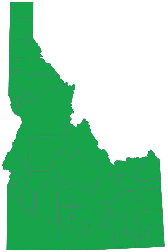
LandGauge now publishes a research page for all 44 Idaho counties while preserving the difference between direct county systems and assisted county-directory research.
Direct county GIS and planning sources remain the first choice where verified.
Assisted counties begin with official Idaho and county-government directories and clearly preserve the manual follow-up step.
Every county page opens the same county-prefilled LandGauge Property Review.
Published county research
LandGauge publishes a county page only after its official resources, manual limitations and jurisdiction notes have been verified.
Ada County
GIS, parcels, zoning, planning, records, flood and terrain resources
Adams County
GIS, parcels, zoning, planning, records, flood and terrain resources
Bannock County
GIS, parcels, zoning, planning, records, flood and terrain resources
Bear Lake County
GIS, parcels, zoning, planning, records, flood and terrain resources
Benewah County
GIS, parcels, zoning, planning, records, flood and terrain resources
Bingham County
GIS, parcels, zoning, planning, records, flood and terrain resources
Blaine County
GIS, parcels, zoning, planning, records, flood and terrain resources
Boise County
GIS, parcels, zoning, planning, records, flood and terrain resources
Bonner County
GIS, parcels, zoning, planning, records, flood and terrain resources
Bonneville County
GIS, parcels, zoning, planning, records, flood and terrain resources
Boundary County
GIS, parcels, zoning, planning, records, flood and terrain resources
Butte County
GIS, parcels, zoning, planning, records, flood and terrain resources
Camas County
GIS, parcels, zoning, planning, records, flood and terrain resources
Canyon County
GIS, parcels, zoning, planning, records, flood and terrain resources
Caribou County
GIS, parcels, zoning, planning, records, flood and terrain resources
Cassia County
GIS, parcels, zoning, planning, records, flood and terrain resources
Clark County
GIS, parcels, zoning, planning, records, flood and terrain resources
Clearwater County
GIS, parcels, zoning, planning, records, flood and terrain resources
Custer County
GIS, parcels, zoning, planning, records, flood and terrain resources
Elmore County
GIS, parcels, zoning, planning, records, flood and terrain resources
Franklin County
GIS, parcels, zoning, planning, records, flood and terrain resources
Fremont County
GIS, parcels, zoning, planning, records, flood and terrain resources
Gem County
GIS, parcels, zoning, planning, records, flood and terrain resources
Gooding County
GIS, parcels, zoning, planning, records, flood and terrain resources
Idaho County
GIS, parcels, zoning, planning, records, flood and terrain resources
Jefferson County
GIS, parcels, zoning, planning, records, flood and terrain resources
Jerome County
GIS, parcels, zoning, planning, records, flood and terrain resources
Kootenai County
GIS, parcels, zoning, planning, records, flood and terrain resources
Latah County
GIS, parcels, zoning, planning, records, flood and terrain resources
Lemhi County
GIS, parcels, zoning, planning, records, flood and terrain resources
Lewis County
GIS, parcels, zoning, planning, records, flood and terrain resources
Lincoln County
GIS, parcels, zoning, planning, records, flood and terrain resources
Madison County
GIS, parcels, zoning, planning, records, flood and terrain resources
Minidoka County
GIS, parcels, zoning, planning, records, flood and terrain resources
Nez Perce County
GIS, parcels, zoning, planning, records, flood and terrain resources
Oneida County
GIS, parcels, zoning, planning, records, flood and terrain resources
Owyhee County
GIS, parcels, zoning, planning, records, flood and terrain resources
Payette County
GIS, parcels, zoning, planning, records, flood and terrain resources
Power County
GIS, parcels, zoning, planning, records, flood and terrain resources
Shoshone County
GIS, parcels, zoning, planning, records, flood and terrain resources
Teton County
GIS, parcels, zoning, planning, records, flood and terrain resources
Twin Falls County
GIS, parcels, zoning, planning, records, flood and terrain resources
Valley County
GIS, parcels, zoning, planning, records, flood and terrain resources
Washington County
GIS, parcels, zoning, planning, records, flood and terrain resources
Idaho statewide sources
These official state systems provide useful context, but local zoning, land-division and permitting decisions still belong to the applicable city or county.
Idaho Geospatial Office
Find Idaho's statewide GIS coordination, clearinghouse and authoritative geospatial-resource links.
Open official sourceIdaho Geological Survey Web Maps
Screen geology, faults, landslides, mines, geothermal features and other geologic context.
Open official sourceIdaho Floodplain Management
Use Idaho Department of Water Resources flood guidance and the statewide Flood Hazard Map.
Open official sourceWhat this hub does—and does not do
LandGauge organizes authoritative starting points and the next verification step. It does not imply that every Idaho county provides downloadable parcel data, and it does not replace county determinations, surveys, title work, engineering, floodplain administration or professional advice.