Canyon County GIS, zoning, parcel and flood-map resources
Use the official Canyon County, Idaho and federal sources below to locate a parcel, distinguish zoning from future land use, screen active planning cases, search recorded documents and identify the office responsible for verification.
Keep your research beside your property review
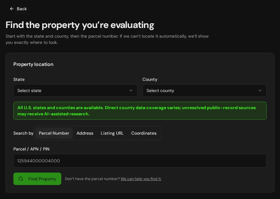
Start with an address, parcel number or listing. Keep the findings and questions for that property together in LandGauge.
On desktop, select an official source below to research side by side. Your review stays open while you switch sources. If a website will not display, use Open in new tab.
Confirm jurisdiction and area of impact first
Canyon County generally administers unincorporated land. Parcels inside an incorporated city—or affected by a city area of impact—may require separate city maps, standards or coordination. Confirm the actual governing jurisdiction before relying on a county or city zoning layer.
Official research resources
Canyon County does not present every answer through one database. Open the system that matches the question, then save the source and any manual follow-up.
Tap a resource to see its details, then open the official source. Use your browser’s Back or close control to return here.
GISCanyon County Development Services GIS
Open the county's official landing page for zoning, future land use, planning applications and building-permit maps.
The county GIS page separates unincorporated-county tools from city resources. Start here, then open the map that matches the jurisdiction and question.
Open official source : Canyon County Development Services GIS (opens in a new tab)Parcel recordsCanyon County Assessor Web Map
Screen parcel location, assessment context and mapped parcel information in the county's interactive viewer.
Assessor and GIS information is for reference. It does not prove surveyed boundaries, legal access, zoning, water rights or buildability.
Open official source : Canyon County Assessor Web Map (opens in a new tab)Parcel recordsCanyon County Property Search
Search assessment records by parcel number, property address or other available fields.
Use the parcel number consistently across the assessor, planning, recorder and flood-research systems.
Open official source : Canyon County Property Search (opens in a new tab)ZoningCanyon County Zoning & Future Land Use Map
Review current zoning and future land-use designations for unincorporated Canyon County.
Current zoning and future land use answer different questions. Neither layer alone confirms that a proposed use or land division will be approved.
Open official source : Canyon County Zoning & Future Land Use Map (opens in a new tab)PlanningCanyon County Planning & Zoning
Find county codes, intake instructions, property-specific zoning inquiries, land-division applications and planning contacts.
Planning, Engineering and Floodplain: 208-402-4164 · zoninginfo@canyoncounty.id.gov. Property-specific confirmation may require an inquiry or verification request.
Open official source : Canyon County Planning & Zoning (opens in a new tab)PlanningCanyon County Planning Application Tracker
Screen active Planning and Zoning projects in unincorporated Canyon County.
The tracker is a current-project screening tool. Review the case record and decision documents before relying on a nearby proposal or approval.
Open official source : Canyon County Planning Application Tracker (opens in a new tab)Recorded documentsCanyon County Recorded Document Search
Search the County Recorder's digital research room for deeds and other indexed recorded documents.
The recorder system may require a manual search, account step, fee or staff request. An index search is not a title examination.
Open official source : Canyon County Recorded Document Search (opens in a new tab)FloodCanyon County Floodplain Program
Review county floodplain rules, permit information, mapping links and floodplain contacts.
For an official determination or a property-specific elevation certificate, contact the responsible city or county floodplain administrator.
Open official source : Canyon County Floodplain Program (opens in a new tab)FloodFEMA Map Service Center
Locate effective National Flood Insurance Program maps and related flood-hazard products.
Confirm whether the map product is effective, preliminary or historical before relying on the displayed flood zone.
Open official source : FEMA Map Service Center (opens in a new tab)If this source won’t open
Try opening the source in a new tab. It may be temporarily unavailable or require a browser security check.
Try FEMA’s effective flood map viewer. Confirm the panel and effective date; missing results do not establish that the property is outside a flood zone. You can also ask FEMA’s map specialists for help.
Keep this answer unknown until you can verify it. Save a note about what you still need to check. Opening a link or contacting an office does not confirm an answer.
TerrainUSGS National Map
Screen elevation, contours, hydrography and topographic context from a federal source.
Regional terrain data does not replace a boundary, topographic or site survey.
Open official source : USGS National Map (opens in a new tab)FEMA Map Service Center
Locate effective National Flood Insurance Program maps and related flood-hazard products.
Confirm whether the map product is effective, preliminary or historical before relying on the displayed flood zone.
Open official sourceIf this source won’t open
Try opening the source in a new tab. It may be temporarily unavailable or require a browser security check.
Try FEMA’s effective flood map viewer. Confirm the panel and effective date; missing results do not establish that the property is outside a flood zone. You can also ask FEMA’s map specialists for help.
Keep this answer unknown until you can verify it. Save a note about what you still need to check. Opening a link or contacting an office does not confirm an answer.
A practical Canyon County research sequence
The sequence matters because the county's maps, assessment records, planning cases and recorded documents are separate systems.
- 1
Identify jurisdiction and area of impact
Determine whether the parcel is inside a city, in unincorporated Canyon County or affected by a city area of impact before relying on a zoning map or development standard.
- 2
Carry the parcel number across systems
Use the same parcel number in the assessor, zoning, planning-application, recorder and flood tools. These systems do not automatically reconcile their conclusions for you.
- 3
Separate current zoning from future land use
Current zoning controls today's regulatory starting point. A future land-use designation describes longer-range policy and does not itself approve a proposed use or rezone.
- 4
Finish the questions that require people
Record unanswered items, request documents when necessary, and obtain property-specific confirmation from the responsible city or county office.
Why some Canyon County verification is manual
The county's public information is distributed among separate map viewers, assessment records, application tracking, recorder research and staff processes. Some plats, surveys, recorded documents and property-specific determinations may require a manual search, request, fee or direct confirmation. LandGauge should preserve that limitation—not convert missing automation into an assumed answer.
Canyon County GIS and zoning questions
Where is the official Canyon County GIS?
Canyon County Development Services publishes a GIS landing page with separate applications for zoning and future land use, planning cases and building permits. The Assessor also maintains a separate parcel-oriented map.
Can LandGauge automatically pull every Canyon County record?
No. Canyon County information is divided among multiple systems, and some recorded documents, plats, surveys or property-specific determinations require a manual search, request, fee or staff confirmation. LandGauge organizes the workflow and records the result.
Does Canyon County zoning apply to every property with a Canyon County address?
No. A mailing address does not determine land-use jurisdiction. Properties inside cities or affected by an area of city impact may involve city maps, standards or coordination, so jurisdiction should be confirmed first.
Are zoning and future land use the same thing?
No. Zoning is the current regulatory classification. Future land use is a planning designation for anticipated growth and policy. A future designation does not automatically change zoning or approve development.
Does the Assessor map prove the property boundary?
No. Parcel mapping is useful for screening and research, but it does not replace recorded documents or a boundary survey by a licensed land surveyor.
Turn manual research into a property record
Start with Idaho and Canyon County preselected, then add the address, parcel number or listing URL. LandGauge keeps located facts separate from claims, manual findings and items that still need verification.
Start the Property ReviewLandGauge organizes research starting points. County and map information may change and does not replace a survey, title examination, engineering review, floodplain determination, permit decision or professional advice.