New Castle County, Delaware GIS, parcel, zoning and land-record resources
A county parcel map is a starting point for locating land and finding its public records. Use Delaware and New Castle County resources to find county parcel and recorded documents, identify planning and DNREC permit paths, and organize findings in a Property Review.
Keep your research beside your property review
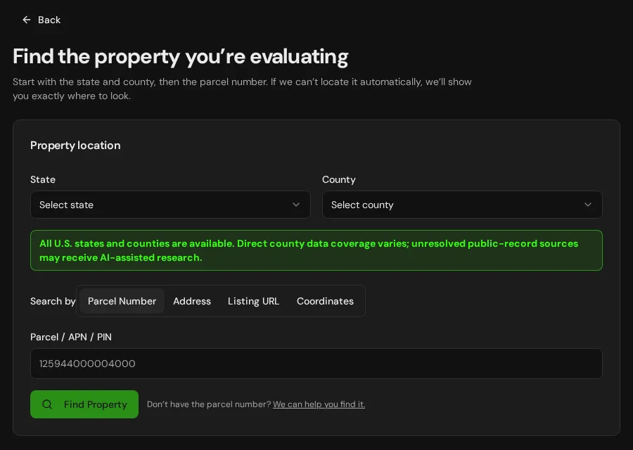
Start with an address, parcel number or listing. Keep the findings and questions for that property together in LandGauge.
On desktop, select an official source below to research side by side. Your review stays open while you switch sources. If a website will not display, use Open in new tab.
Confirm the governing jurisdiction first
New Castle County provides parcel, planning and recorded-document research paths. Confirm whether the parcel is governed by the county or an incorporated municipality for zoning and subdivision. Maps and tax records do not establish legal boundaries, access, septic or well approval, flood safety or buildability.
Official research resources
New Castle County provides parcel, planning and recorded-document research paths. Confirm whether the parcel is governed by the county or an incorporated municipality for zoning and subdivision. Maps and tax records do not establish legal boundaries, access, septic or well approval, flood safety or buildability.
Tap a resource to see its details, then open the official source. Use your browser’s Back or close control to return here.
GISNew Castle County parcel and property search
Use the county's official property records or mapping tools to locate the tax parcel and available assessment information.
County mapping and tax data are screening leads, not a survey, legal description, title report or development approval. Verify the current parcel and update date with the county.
Open official source : New Castle County parcel and property search (opens in a new tab)PlanningNew Castle County planning and zoning
Ask the county planning office about zoning, lot status, subdivisions, roads and permits for the proposed use.
Check whether an incorporated town or city governs the site. A county zoning map or general code does not approve a specific parcel or split.
Open official source : New Castle County planning and zoning (opens in a new tab)Recorded documentsNew Castle County recorder of deeds
Locate recorded deeds, plats, easements and restrictions through the county recorder.
Online document availability and fees may vary. Compare actual instruments with current title and survey work to establish rights and access.
Open official source : New Castle County recorder of deeds (opens in a new tab)GISDelaware FirstMap GIS
Explore Delaware's shared state GIS data for surrounding land and environmental context.
A statewide GIS layer can be older or generalized. Check source dates and confirm parcel-specific facts with the county and a survey.
Open official source : Delaware FirstMap GIS (opens in a new tab)PlanningDNREC septic systems
Review Delaware's on-site wastewater approval process and locate existing permits or site evaluations.
A nearby system or soil map does not approve this parcel. Confirm actual service and any site-specific testing or permits before relying on a proposed split.
Open official source : DNREC septic systems (opens in a new tab)Recorded documentsDNREC well permits
Review well construction and use requirements and ask DNREC about property-specific records.
A nearby well does not guarantee water availability or quality for this property.
Open official source : DNREC well permits (opens in a new tab)GISDNREC Well Viewer
Screen mapped Delaware well records near the property.
The viewer is a research lead. Confirm permit, completion, yield and testing records for the actual site.
Open official source : DNREC Well Viewer (opens in a new tab)FloodDelaware Flood Planning Tool
Screen Delaware flood risk using DNREC's map and guidance.
Check the effective FEMA panel and local floodplain administrator. Areas outside mapped flood zones can still flood.
Open official source : Delaware Flood Planning Tool (opens in a new tab)FloodFEMA Map Service Center
Find effective flood insurance maps, panels and revisions for the site.
An empty screening map does not prove safety or buildability.
Open official source : FEMA Map Service Center (opens in a new tab)If this source won’t open
Try opening the source in a new tab. It may be temporarily unavailable or require a browser security check.
Try FEMA’s effective flood map viewer. Confirm the panel and effective date; missing results do not establish that the property is outside a flood zone. You can also ask FEMA’s map specialists for help.
Keep this answer unknown until you can verify it. Save a note about what you still need to check. Opening a link or contacting an office does not confirm an answer.
GISDNREC state-regulated wetlands
Screen official state wetland maps and ask DNREC about regulated areas and permit paths.
State and federal wetlands may use different boundaries and methods. A screening map does not replace field delineation or jurisdictional review.
Open official source : DNREC state-regulated wetlands (opens in a new tab)GISNational Wetlands Inventory
Screen additional wetlands and water features near access and proposed work.
NWI is a screening layer, not a field delineation or permit decision.
Open official source : National Wetlands Inventory (opens in a new tab)PlanningDNREC Beach Building Line Maps
Where relevant, check coastal building lines along the Atlantic and Delaware Bay shorelines.
Coastal construction rules apply where relevant. Confirm the mapped line and permit requirements with DNREC before planning work near a beach or dune.
Open official source : DNREC Beach Building Line Maps (opens in a new tab)TerrainNRCS Web Soil Survey
Review mapped soils, drainage and limitations for wastewater, roads and foundations.
Mapped soils do not replace a site evaluation or engineering.
Open official source : NRCS Web Soil Survey (opens in a new tab)TerrainUSGS National Map
Screen contours, drainage and displayed roads around the property.
A displayed road does not prove legal access or a buildable envelope.
Open official source : USGS National Map (opens in a new tab)FEMA Map Service Center
Find effective flood insurance maps, panels and revisions for the site.
An empty screening map does not prove safety or buildability.
Open official sourceIf this source won’t open
Try opening the source in a new tab. It may be temporarily unavailable or require a browser security check.
Try FEMA’s effective flood map viewer. Confirm the panel and effective date; missing results do not establish that the property is outside a flood zone. You can also ask FEMA’s map specialists for help.
Keep this answer unknown until you can verify it. Save a note about what you still need to check. Opening a link or contacting an office does not confirm an answer.
A practical New Castle County research sequence
Maps and directories are research starting points. Confirm governing zoning, recorded rights, septic, wells, flood, wetlands, coastal rules and access with current property-specific evidence.
- 1
Match county parcel and recorded records
Find the parcel in the county property system, then compare its map and tax ID with deeds, plats, easements and a current survey.
- 2
Confirm the governing planning office
Ask the county or incorporated municipality about zoning, legal lot status, subdivision, access, roads, building and utilities for the exact site.
- 3
Verify wastewater and water supply
Check DNREC records and requirements for an on-site septic system or individual well where those services are proposed.
- 4
Screen flood, wetlands and coast
Compare effective FEMA maps with Delaware flood screening, state and federal wetlands, and any applicable beach building line. Confirm site conditions and permits.
Why New Castle County research still requires manual verification
County property systems provide tax and mapping context, but the recorder holds legal documents and local governments decide land use. DNREC handles separate wastewater, well, wetland and coastal programs. Check the exact parcel, governing authority and current evidence before relying on a proposed use or lot split.
New Castle County, Delaware GIS and zoning questions
Where can I find New Castle County parcel information?
Use the county parcel or property search and compare its tax map with deeds, plats and a survey. A county map is not automatic LandGauge verification or a legal boundary determination.
Does the parcel map show I can build or split land?
No. Ask the governing county or incorporated town about legal lot status, zoning, access, subdivisions, utilities and permit requirements for your proposed use.
Where do I check deeds and easements?
Use the county recorder of deeds and review the actual recorded instruments, plats and restrictions with qualified title and survey professionals.
Who handles septic and well permits?
DNREC oversees on-site wastewater and individual well programs. Review existing property-specific permits and ask about testing and approvals for any proposed new lots.
How do I check flood and wetlands?
Screen DNREC's Delaware Flood Planning Tool and state wetland maps, then check the effective FEMA panel and seek local or agency confirmation. A blank layer is not clearance.
When does a coastal building line matter?
For land near the Atlantic or Delaware Bay shoreline, check DNREC's mapped beach building line and ask whether a coastal construction permit or approval is required.
Turn the research into a property record
Start with Delaware and New Castle County preselected. Add an address, parcel number or listing URL, then organize official findings, seller claims and open questions in one Property Review.
Start the Property ReviewLandGauge organizes research starting points. County and map information may change and does not replace a survey, title examination, engineering review, floodplain determination, permit decision or professional advice.